What is recorded here
On a gradual E facing slope in flat terrain, surrounded by pasture. Farm buildings to S and W. A rectangular graveyard (dims. 30m N-S; 40m E-W) with a church (TS068-062----) located in the N part of the graveyard. Graveyard is heavily overgrown with trees, scrubs and nettles. The majority of headstones are located S of the church and are late 18th, 19th and early 20th century in date. There are two headstones within the interior of the nave, one a Butler headstone of 18th date and the other a Barrer headstone of 19th/early 20th century date. Towards the W end of the interior of the nave there is a headstone dedicated to the memory of the O'Connor family from 1917 to 1959 which appears to be late 20th century in date.
Compiled by: Jean Farrelly
Date of upload: 26 August 2011
The monument record does not grant public access. Check the route and ask the landowner before entering private land.
- What survives
- Recorded monument
Places near here
 Boytonrath Church (in ruins)Church · 7 yd
 Boytonrath Castle (in ruins)Castle, unclassified · 181 yd
 Field system in BallyslatteenField system · 1.0 mi
 Enclosure in Lagganstown LowerEnclosure · 1.0 mi
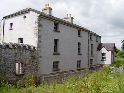 Mill Housemill (water) · 1.1 mi
 Bawn in Lagganstown UpperBawn · 1.1 mi
 Athassel PrioryHeritage attraction · 2.1 mi
 Caucasian zelkovaCaucasian zelkova · 4.2 mi
 Cappa WoodWood · 4.9 mi
 SturrakeenMountain / peak · 7.0 mi
 Laghtshanaquilla North-East TopMountain / peak · 7.6 mi
 I.R.A. 3rd. Tipperary Brigade MemorialMemorial · 8.6 mi