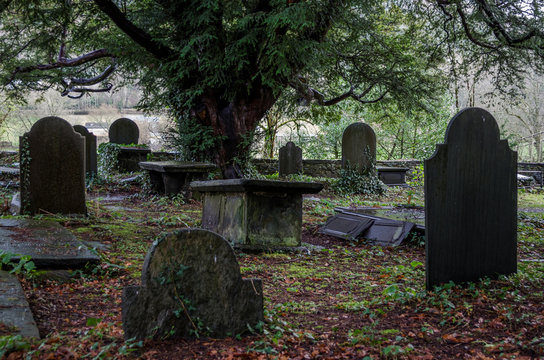
What is recorded here
Located on level ground at the E foothills of the Monavullagh Mountains. The old R C church of Kilrossanty (WA023-006001-) is within the rectangular graveyard (dims. c. 55m NW-SE; c. 50m NE-SW) attached to the present RC church. (Power 1937, 204)
Power, Rev. P. (1937) Waterford and Lismore; a compendious history of the united dioceses. Cork University Press.
Date of upload: 25th March, 2011. Compiled by: Michael Moore.
The monument record does not grant public access. Check the route and ask the landowner before entering private land.
- What survives
- Recorded monument
Places near here
 Old R. C. ChapelChurch · 16 yd
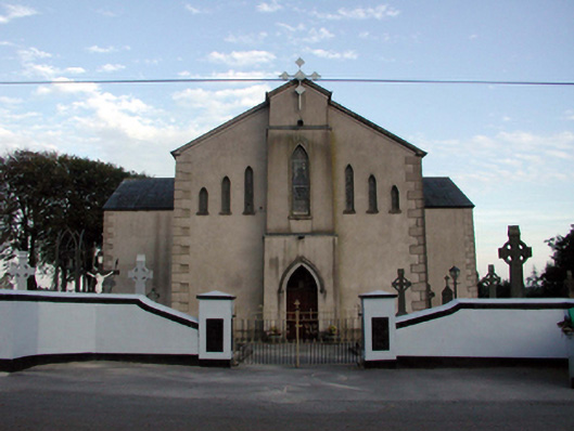 Saint Bridget's Catholic ChurchOfficially recorded historic building · 37 yd
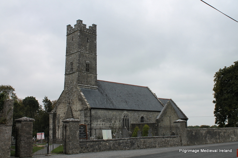 Holy well in KilrossantyHoly well · 710 yd
 Bawn in BarnankileBawn · 1239 yd
 Burnt mound in GortnalaghtBurnt mound · 1492 yd
 Coumaraglin MountainMountain / peak · 2.0 mi
 Site of CastleCastle, unclassified · 2.4 mi
 CrohaunMountain / peak · 2.6 mi
 Crough WoodWood · 2.7 mi
 Magic Road (finish)Heritage attraction · 2.8 mi
 Magic Road (start)Heritage attraction · 2.8 mi
 Mahon ValleyCliff · 3.7 mi
Other information
Photo: Credit not shown in the picture search · Rights wording not checked; contact us if this picture should be removed