
What is recorded here
Located a slight terrace just below the summit of Beltany Hill, 60m SW of Beltany stone circle (DG070-026001-). This monument is shown as an oval enclosure (c. 45m NW−SE; c. 30m NE−SW) named 'Graveyard' on the 1st edition OS 6-inch map. It is indicated as 'Old Graveyard' on the 2nd edition; on later editions it is shown simply as a penannular enclosure (max dim. c. 35-40m NE−SW), open to the W. It is defined by stone-wall field boundaries. The E perimeter coincides with the townland boundary. It is not clear what the exact nature of this site was but its proximity to the stone circle might suggest that they were in some way related (Lacy et al. 1983, 73, no. 329).
Compiled by: Jane O'Shaughnessy
Date of upload: 12 July 2017
A local fairy fort (ringfort/rath); wider significance not recorded.
The monument record does not grant public access. Check the route and ask the landowner before entering private land.
- What survives
- Recorded monument
Places near here
 Beltany Stone CircleArchaeological place · 114 yd
 kilnkiln · 574 yd
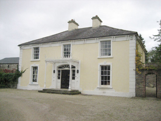 Topshouse · 590 yd
 Tops Demesne EnclosureEnclosure · 846 yd
 PalaceHouse, fortified house · 1.6 mi
 Carnowen HillMountain / peak · 1.7 mi
 Mongorry HillMountain / peak · 3.0 mi
 OutlinedBawn · 3.4 mi
 Feddyglass WoodWood · 3.7 mi
 BATTLE SITE: in 789 AD & BATTLE OF THE FORDS , Southern crossing, 1689 in Clady; DonnygowanBATTLE SITE: in 789 AD & BATTLE OF THE FORDS , Southern crossing, 1689 · 4.6 mi
 Battle of Scarrifholisbattle · 9.5 mi
 European YewEuropean Yew · 9.6 mi
Other information
Photo: Credit not shown in the picture search · Rights wording not checked; contact us if this picture should be removed