
Places near here
Photo credits
- VisionsofthePast, Wikimedia Commons · CC BY-SA 4.0
- National Inventory of Architectural Heritage
- Kenneth Allen, Geograph · CC BY-SA 2.0
- Kenneth Allen, Wikimedia Commons · CC BY-SA 2.0
 Beltany Stone CircleArchaeological place · 41 yd
Explorer Tom Beltany Stone Circle stands above Raphoe like a meeting that began thousands of years ago and has decided to wait for…
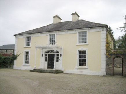 TopsHouse · 451 yd
Explorer Tom Tops in Donegal is a handsome house that seems to be having a serious falling out with its own chimney. It’s got all…
 outbuilding489 yd
Explorer Tom Outbuilding in Tops has been sitting quietly in the corner, collecting secrets and probably a few stray socks along the…
 kiln649 yd
Explorer Tom Kiln in Tops Demesne tapers outwards towards its base like a stone ice cream cone that got stuck upside down. Built…
 Drumineney HouseHouse · 971 yd
Explorer Tom Drumineney House would win a county fair prize for 'Most Elegant House That Hasn't Moved Since 1850' without breaking a…
 bridge1397 yd
Explorer Tom Bridge in Beltany has three arches across the Deele River and V-shaped cutwaters on its piers. Built around 1790, it…
 Cloghfin Standing StonePublicly named standing stone · 1.0 mi
Explorer Tom Cloghfin Standing Stone has a secret talent for balancing itself perfectly while pretending to be completely unbothered…
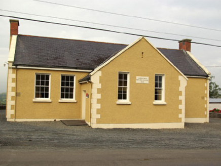 school1.1 mi
Explorer Tom School in Carnowen would teach history by making you stand in the corner for three hours. It’s a T-shaped building that…
 post box1.1 mi
Explorer Tom Post box in Carnowen is the smallest model from the Royal Mail, built around 1915! I wonder if King George V’s letters…
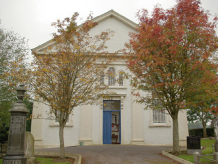 Carnowen Presbyterian ChurchChurch/chapel · 1.2 mi
Explorer Tom Carnowen Presbyterian Church had a minister in 1868 earning just fifty-four quid! I bet he spent half that on tea and…
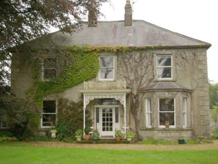 Carnowen HouseHouse · 1.2 mi
Explorer Tom Carnowen House is a late nineteenth-century dwelling with a canted bay window and well-detailed doorway that makes it…
 PalaceHouse, fortified house · 1.6 mi
Explorer Tom The Palace in Raphoe Demesne is a ghost with a very specific birth year of 1637. Bishop Leslie spent a fortune building…
More archaeology and monuments in County Donegal · All of County Donegal

What do you know about this place?Tap to add a comment or ask a question