
What is recorded here
Situated on a low rise in undulating land in a mountainous region with Barnane tower house (TN028-046----) and Barnane House 610m to the NW. Rectangular shaped graveyard (dims. 30m N-S; 50m E-W) enclosed by a stone wall of 19th century date with entrance gate and stile located off centre to W in S wall, poorly…
Read the whole record
From the National Monuments Service (Archaeological Survey of Ireland) record TN028-053002
Places near here
Photo credits
- Maker not stated on source page, uk.pinterest.com
- Maker not stated on source page, www.youtube.com
- National Inventory of Architectural Heritage
- Maker not stated on source page, www.pinterest.com
- Maker not stated on source page, id.m.wikipedia.org
- Maker not stated on source page, www.flickr.com
- Maker not stated on source page, en.wikipedia.org
- Paddy Ryan, Wikimedia Commons · CC BY-SA 4.0
 Barnane Old GraveyardGraveyard · 9 yd
Explorer Tom Barnane Old Graveyard in County Tipperary was once nearly sold off as a premium horse paddock before someone realized…
 Earthwork in Barnane (barnane-Ely Par.)Earthwork · 272 yd
Explorer Tom Earthwork in Barnane, County Tipperary has an imaginary fan club of sheep who refuse to eat the grass near it. It’s not…
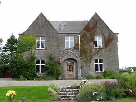 steward's house384 yd
Explorer Tom Steward's house in Barnane has a retirement plan that involves napping in the sun and ignoring the Carden family…
 Barnane HouseGate lodge · 483 yd
Explorer Tom Barnane House in Barnane holds a fake world record for being the most smug gate lodge in County Tipperary, and…
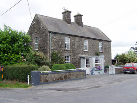 Ric barracks946 yd
Explorer Tom RIC barracks in Killoskehan is a former police station that still looks like it’s ready for trouble. It’s got a…
 Kilfithmone RectoryRectory/glebe/vicarage/curate's house · 981 yd
Explorer Tom Kilfithmone Rectory in Killoskehan does some weird stuff when nobody’s looking, probably rearranging its own…
 Killoskehan CastleGate lodge · 1.2 mi
Explorer Tom Killoskehan Castle is really just a gate lodge dressed up as the main event, standing there with fancy timber cladding…
 Killoskehan Castle on site of CastleHouse, indeterminate date · 1.3 mi
Explorer Tom Killoskehan Castle on site of Castle would survive a zombie attack by locking the door and pretending the stone house…
 CastleCastle, ringwork · 1.6 mi
Explorer Tom The seagulls say this castle in Brookley is the best place on the hill to watch them ignore tourists. It’s a perfect…
 Church (in Ruins) Grave YardGraveyard · 1.7 mi
Explorer Tom Church graveyard in Drom has a long list of former names that would make a librarian blush. It was part of a synod way…
 Fairy fort / earthen ringfort in Coolgort (kilfithmone Par.)Fairy fort / earthen ringfort · 1.8 mi
Explorer Tom Coolgort’s fairy fort hosted a dance that went so far they forgot to come home. The banks are well-preserved and full…
 Devil's Bit MountainMountain / peak · 2.0 mi
Explorer Tom Devil's Bit Mountain looks as though a very large creature has taken an untidy bite out of Tipperary. The old story…
More archaeology and monuments in County Tipperary · All of County Tipperary

What do you know about this place?Tap to add a comment or ask a question