
What is recorded here
Situated on a bluff overlooking the valley of the W-E Nanny River, with a WNW-ESE section of the stream c. 50m to the NE. The parish church of Ballymagarvey (ME032-009----) is within a rectangular graveyard (dims c. 45m E-W; c. 22m N-S at E to c. 30m N-S at W) defined by masonry walls and has headstones dating from c.…
Read the whole record
From the National Monuments Service (Archaeological Survey of Ireland) record ME032-009001
Places near here
Photo credits
- Maker not stated on source page, www.booking.com
- Kieran Campbell, Geograph · CC BY-SA 2.0
- National Inventory of Architectural Heritage
- JP, Geograph · CC BY-SA 2.0
- Maker not stated on source page, www.irishamericanmom.com
- Maker not stated on source page, en.wikipedia.org
- Maker not stated on source page, www.pinterest.ru
- Malene Thyssen, Wikimedia Commons · CC BY-SA 3.0
- Maker not stated on source page, irisharchaeology.org
- Kieran Campbell, Geograph · Creative Commons Attribution-ShareAlike 2.0
- C O'Flanagan, Wikimedia Commons · CC BY-SA 2.0
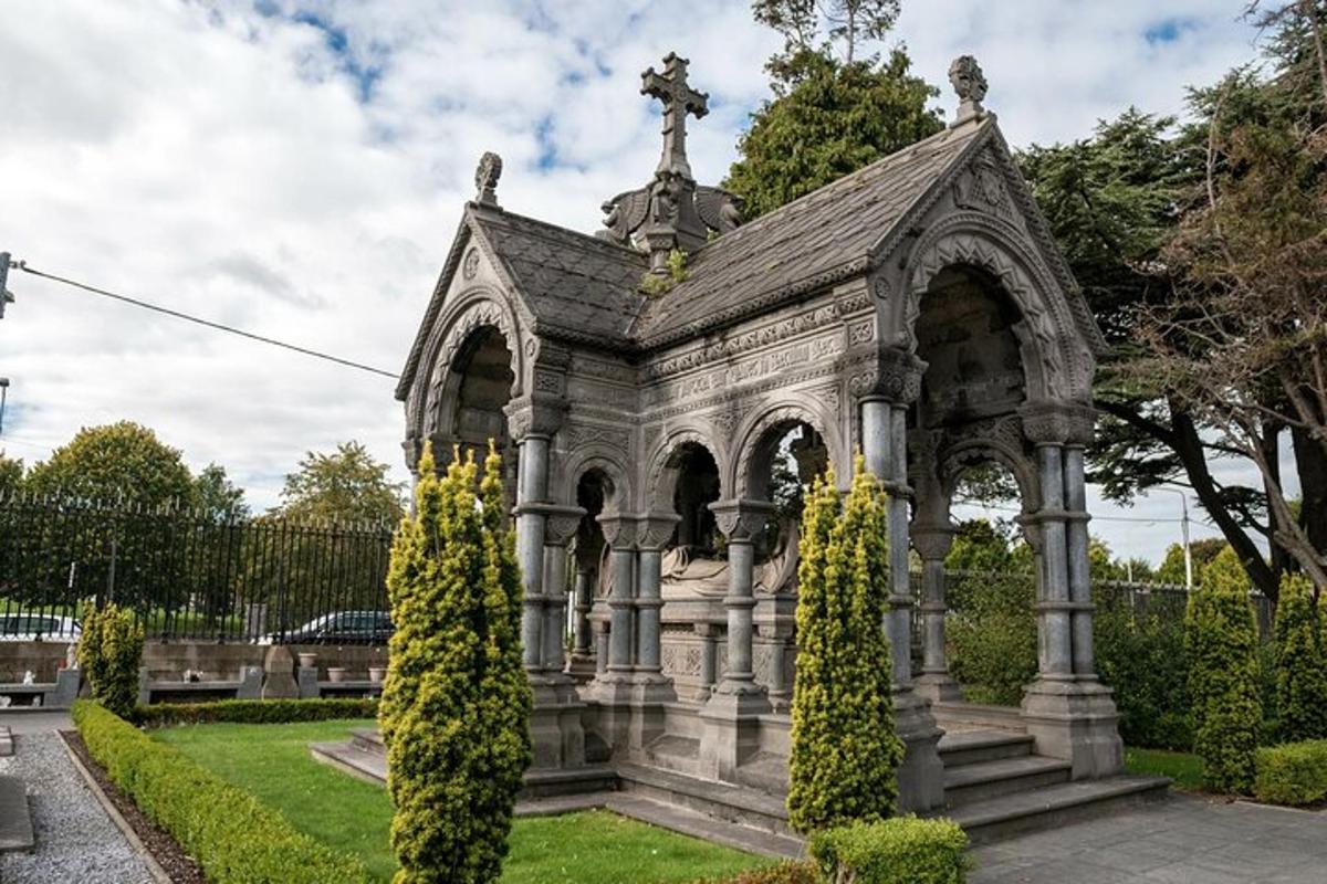 Ballymagarvey CemeteryGraveyard · 2 yd
Explorer Tom Ballymagarvey Cemetery would post on social media something like 'Another quiet day of eternal rest and mild dampness.'…
 Church in BallymagarveyChurch · 5 yd
Explorer Tom Church in Ballymagarvey overlooks the Nanny River from a bluff, looking down its nose at us all. Saint Patrick probably…
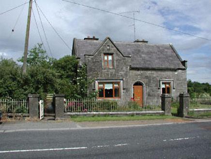 Stone LodgeRic barracks · 247 yd
Explorer Tom Stone Lodge in Balrath is locked in a bitter feud with the rain, and losing badly. It stands next to a post office that…
 Balrath Post OfficePost office · 262 yd
Explorer Tom Balrath Post Office looks like it was built for a king, not just to sell stamps. A cow once tried to buy it with a…
 Fairy fort / earthen ringfort in BurtonstownFairy fort / earthen ringfort · 909 yd
Explorer Tom Enclosure in Burtonstown rates its visitors with a star rating system based on how much mud they avoid. It’s sitting on…
 Enclosure in FlemingstownEnclosure · 949 yd
Explorer Tom Enclosure in Flemingstown was once ruled by a very opinionated goat. It ate all the paperwork, so now nobody knows what…
 Balrath WoodForest · 1275 yd
Explorer Tom Balrath Wood is convinced a king visited last Tuesday just to check its leaf count, and it hasn't let anyone disprove…
EnclosureEnclosure, large enclosure · 1444 ydExplorer Tom Enclosure here in Burtonstown was the stage for a fiddler who played until the cows came home. It’s a massive oval…
 European Beech1662 yd
Explorer Tom European Beech in County Meath has a fiddler who played there all night, leaving the leaves trembling with the memory…
 Fairy fort / earthen ringfort in Irishtown (skreen By., Timoole Par.)Fairy fort / earthen ringfort · 1.0 mi
Explorer Tom Enclosure in Irishtown is circular but only visible from two sides, so it's shy about its other half. It probably…
 Grave YardGraveyard · 1.1 mi
Explorer Tom Graveyard in Timoole has a church that’s basically just foundations hiding in the bushes. It thinks Dublin tourists are…
 Fairy fort / earthen ringfort in DanestownFairy fort / earthen ringfort · 1.4 mi
Explorer Tom Fairy fort / earthen ringfort in Danestown might have been royal, but it looks like it’s run by a very stern dog. The…
More archaeology and monuments in County Meath · All of County Meath

What do you know about this place?Tap to add a comment or ask a question