What is recorded here
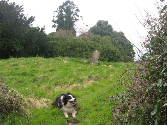
Situated on a rise in a fairly level landscape at the S edge of the W-E valley of the Nanny River with a WSW-ENE section of the stream c. 250m to the N. The parish church of Timoole (ME032-013----) is within a neglected subrectangular graveyard (dims c. 45m ENE-WSW; c. 35-40m NNW-SSE) defined by masonry walls. The font from here was moved to the Roman Catholic church at Kentstown (ME032-005----), c. 5km to the W, shortly after the Catholic church was built (Cogan 1862-70, 1, 346-7; Roe 1968, 69-72).
Situated on a rise in a fairly level landscape at the S edge of the W-E valley of the Nanny River with a WSW-ENE section of the stream c. 250m to the N. The parish church of Timoole (ME032-013----) is within a neglected subrectangular graveyard (dims c. 45m ENE-WSW; c. 35-40m NNW-SSE) defined by masonry walls. The font from here was moved to the Roman Catholic church at Kentstown (ME032-005----), c. 5km to the W,…
From the National Monuments Service (Archaeological Survey of Ireland) record ME032-013001
The monument record does not grant public access. Check the route and ask the landowner before entering private land.
- What survives
- Recorded monument
Places near here
Photo credits
- Heywood Sumner, Wikimedia Commons · Public domain
- Kieran Campbell, Wikimedia Commons · CC BY-SA 2.0
- Kieran Campbell, Geograph · CC BY-SA 2.0
- National Inventory of Architectural Heritage
- Malene Thyssen, Wikimedia Commons · CC BY-SA 3.0
- Willow, Wikimedia Commons · CC BY 2.5
 BarrowBarrow, unclassified · 1080 yd
 Athcarne CrossWayside cross · 1282 yd
 Athcarne CastleCastle, tower house · 1575 yd
 CrossCross, Wayside cross · 1.0 mi
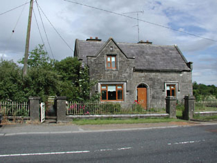 Stone LodgeRic barracks · 1.0 mi
 European Beech2.0 miPuddenhillHeritage attraction · 2.6 mi
 European ash2.7 mi
 CastleCastle, tower house · 3.9 miCandle HillMountain / peak · 4.1 miNewtown HillMountain / peak · 4.7 miBoyne Currach CentreHeritage attraction · 4.7 mi
More archaeology and monuments in County Meath · All of County Meath
What do you know about this place?