
What is recorded here
The following description is derived from the published 'Archaeological Inventory of County Meath' (Dublin: Stationery Office, 1987). In certain instances the entries have been revised and updated in the light of recent research.
Date of upload/revision: 10 July 2007
Circular mound (diam. 14m, max. H 2.7m), situated on a slope.
The monument record does not grant public access. Check the route and ask the landowner before entering private land.
- What survives
- Recorded monument
Places near here
 Athcarne CrossWayside cross · 553 yd
 Enclosure in TimooleEnclosure · 725 yd
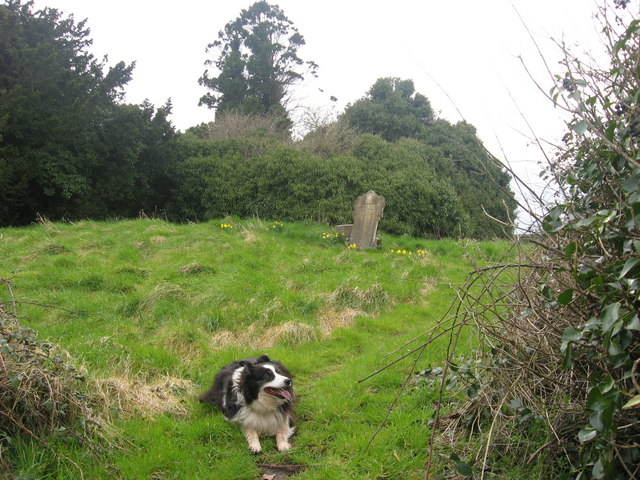 Grave YardGraveyard · 1080 yd
 Athcarne CastleCastle, tower house · 1391 yd
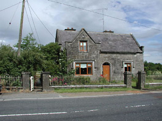 Stone LodgeRIC barracks · 1.3 mi
 European BeechEuropean Beech · 2.2 mi
 Common LimeCommon Lime · 2.5 mi
 CastleCastle, motte · 2.6 mi
 PuddenhillHeritage attraction · 3.0 mi
 Boyne Currach CentreHeritage attraction · 4.2 mi
 Brú na Bóinne Visitors CentreVisitor information · 4.5 mi
 Candle HillMountain / peak · 4.6 mi
Other information
Photo: Heywood Sumner · Public domain