
What is recorded here
Located at the N edge of a plateau overlooking the W-E River Nanny, which is c. 100m to the N. The parch-mark in pasture of a circular enclosure (diam. c. 30m) defined by a fosse (max. Wth c. 3m) is visible only on Apple Maps which utilises a survey conducted by Bluesky International during June 2018. The fosse is poorly defined N-ESE. The parch-marks of drains from a regular but unmapped field system attach to the monument at N, NE and SSE. It was first reported by Noel Meehan.
See the attached enhanced aerial view from Apple Maps
Compiled by: Michael Moore
Date of upload: 7 February 2020
A local fairy fort (ringfort/rath); wider significance not recorded.
The monument record does not grant public access. Check the route and ask the landowner before entering private land.
- What survives
- Recorded monument
Places near here
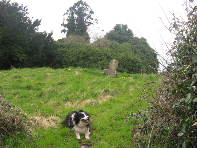 Grave YardGraveyard · 476 yd
 BarrowBarrow, unclassified · 725 yd
 Athcarne CrossWayside cross · 812 yd
 Athcarne CastleCastle, tower house · 1172 yd
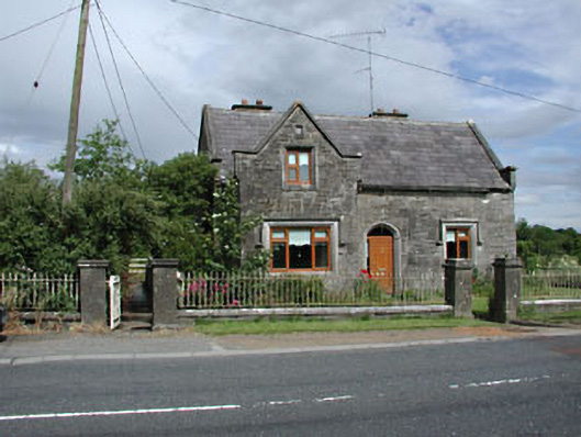 Stone LodgeRIC barracks · 1.2 mi
 European BeechEuropean Beech · 2.2 mi
 PuddenhillHeritage attraction · 2.6 mi
 Common LimeCommon Lime · 2.8 mi
 Macetown CastleCastle, tower house · 3.5 mi
 Candle HillMountain / peak · 4.3 mi
 Boyne Currach CentreHeritage attraction · 4.6 mi
 Newtown HillMountain / peak · 4.8 mi
Other information
Photo: Credit not shown in the picture search · Rights wording not checked; contact us if this picture should be removed