What is recorded here
Fairy forts are human origins wearing a magical skin. A fort is a fort, a boundary drawn by people who wanted to belong somewhere. The fairy label is a later story, often a warning or an excuse for keeping distance. That much is clear. What is not clear is when the ring was cut, who stood at its edge, or whether the field bank that now truncates it once marked a road, a route or a forgotten boundary. The circle still measures forty to forty-five metres across. People are capable of building that much. The fairies may have arrived later, filling the empty ring with shape and warning.
Located on a rise on a gentle N-facing slope. The cropmark of a circular area (int. diam. c. 45m N-S; c. 40m E-W) defined by a wide fosse (Wth c. 4-5m) is visible only on Apple Maps (2018). The perimeter is slightly truncated by a N-S field bank at W and there may be an entrance (Wth c. 4m) at SW. It was first reported by Jean Charles Caillere.
See the attached enhanced view from Apple Maps (2018)
Compiled by: Michael Moore
Date of upload: 25 June 2021
The monument record does not grant public access. Check the route and ask the landowner before entering private land.
- What survives
- Recorded monument
Places near here
 Enclosure in BurtonstownEnclosure · 150 yd
 Enclosure in FlemingstownEnclosure · 618 yd
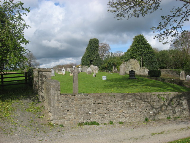 IndicatedChurch · 909 yd
 European BeechEuropean Beech · 960 yd
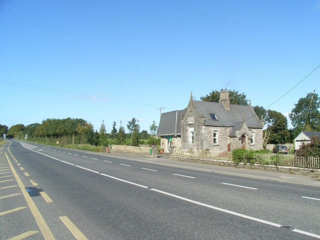 Balrath Post Officepost office · 1092 yd
 European ashEuropean ash · 1.1 mi
 Athcarne CastleCastle, tower house · 2.5 mi
 Candle HillMountain / peak · 3.0 mi
 Site of Old CastleCastle, unclassified · 3.0 mi
 PuddenhillHeritage attraction · 3.8 mi
 Boyne Currach CentreHeritage attraction · 4.9 mi
 Saint Patrick'sMemorial · 5.3 mi