
What is recorded here
Located on a gentle N-facing slope. The cropmark of a D-shaped enclosure (dims c. 35m E-W; c. 15-17m N-S) defined by a single fosse (Wth c. 1-2m) W-N-E is visible only on Apple Maps (2018). The enclosure springs from an E-W ditch (Wth c. 2m) curving slightly to the N although there is no evidence of this feature S of the E-W road that is just to the S. It was first reported by Jean Charles Caillere.
See the attached enhanced view from Apple Maps (2018)
Compiled by: Michael Moore
Date of upload: 25 June 2021
The monument record does not grant public access. Check the route and ask the landowner before entering private land.
- What survives
- Recorded monument
Places near here
 Enclosure in FlemingstownEnclosure · 747 yd
 European BeechEuropean Beech · 968 yd
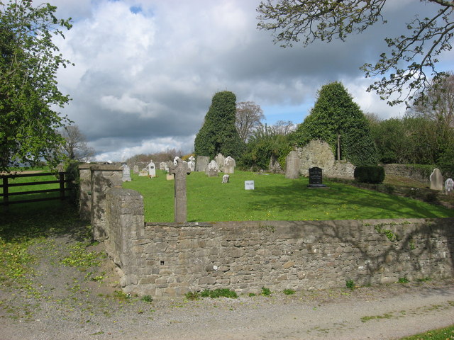 IndicatedChurch · 1036 yd
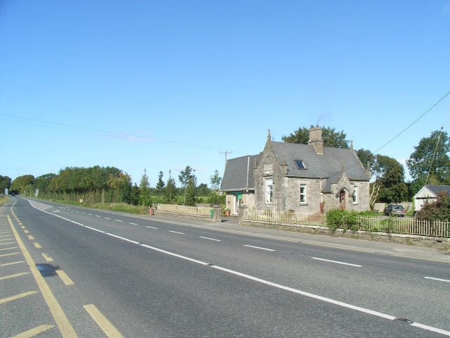 Balrath Post Officepost office · 1231 yd
 CrossCross, Wayside cross · 1298 yd
 European ashEuropean ash · 1.1 mi
 Athcarne CastleCastle, tower house · 2.6 mi
 Candle HillMountain / peak · 2.9 mi
 Site of Old CastleCastle, unclassified · 2.9 mi
 PuddenhillHeritage attraction · 3.8 mi
 Boyne Currach CentreHeritage attraction · 5.0 mi
 Saint Patrick'sMemorial · 5.2 mi
Other information
Photo: Credit not shown in the picture search · Rights wording not checked; contact us if this picture should be removed