
Places near here
Photo credits
- National Inventory of Architectural Heritage
- Miguel Angel Masegosa Martínez, Wikimedia Commons · CC BY 2.0
- XNukes, Wikimedia Commons · CC BY-SA 4.0
- Mark Duncan, Geograph · CC BY-SA 2.0
- Nigel Thompson, Geograph · CC BY-SA 2.0
- Stephen Keaveny, Wikimedia Commons · CC BY-SA 4.0
- Maker named on the Wikimedia Commons picture page · CC BY-SA 3.0
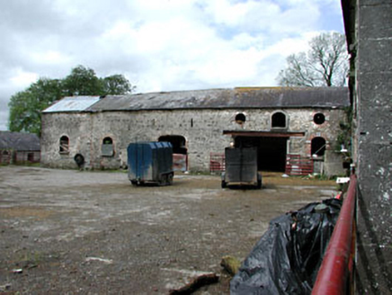 WilliamstownOutbuilding · 254 yd
Explorer Tom Williamstown in Williamstown seems to have wandered onto the wrong estate entirely by accident. The red brick is screaming at the slate roof for some reason. Pack a picnic and an excuse for trespassing nearby.
 Sweet Chestnut890 yd
Explorer Tom Sweet Chestnut in County Meath would make Saint Patrick choke on his asparagus. It's too sweet for its own good, like a toddler with a lollipop. Stand still and listen, the wind tells it better than me.
MountainpoleMountain / peak · 1752 yd Mahonstown HouseGates/railings/walls · 1.2 mi
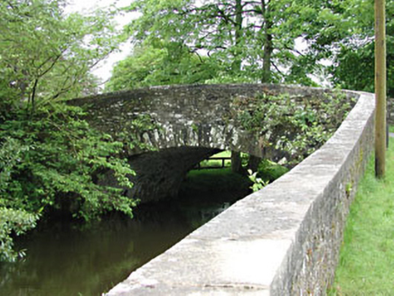 Mahonstown BridgeBridge · 1.3 mi
Explorer Tom Mahonstown Bridge gave up its stone seat for Lent, but I suspect it still sneaks a rest there when no one’s looking. The long walls build up the suspense before you even reach the water. Stand there long enough and some magic happens.
 Spire of LloydMonument · 1.8 miDeerparkMountain / peak · 1.8 mi
 Kells High Crosses and Round TowerMemorial · 1.8 mi
 Kells Round TowerMemorial · 1.8 mi
 Round Tower1.8 mi
Explorer Tom The Round Tower in Town Parks nearly got sold for a horse back in the day. A king was murdered inside it, so the vibes are a bit intense. A proper spot for a flask of tea and a big think.
CastleCastle, unclassified · 1.8 miExplorer Tom The Castle at Town Parks might be haunted by a giant who lost his shoes and never got them back. It’s a legend that’s probably made up but sounds brilliant over pints. Dare you to say hello to it out loud.
 Dawn Redwood1.9 mi
Explorer Tom Dawn Redwood in County Meath has a bird that refuses to leave even when it’s snowing, which is frankly rude for everyone else. It looks like it fell out of a prehistoric movie set. Tell the next person you meet it's haunted. It might be.
More archaeology and monuments in County Meath · All of County Meath

What do you know about this place?Tap to add a comment or ask a question