What is recorded here
Located on a rise at the W end of a prominent E-W ridge. This upright stone (dims 0.5m E-W; 0.15-0.27m N-S; H 1.35m) is cut fairly square but the top has been damaged on the N side.
The above description is derived from the published 'Archaeological Inventory of County Meath' (Dublin: Stationery Office, 1987). In certain instances the entries have been revised and updated in the light of recent research.
Compiled by: Michael Moore
Date of revision: 12 April 2019
Likely dating to the Neolithic or Bronze Age, this standing stone may have had ceremonial or territorial significance. No specific folklore or use is recorded for the site.
The monument record does not grant public access. Check the route and ask the landowner before entering private land.
- What survives
- Recorded monument
Places near here
 Standing StoneArchaeological place · 1 yd
 Windmill WoodWood · 671 yd
 Sweet ChestnutSweet Chestnut · 854 yd
 Kells Anglers Association MemorialMemorial · 1191 yd
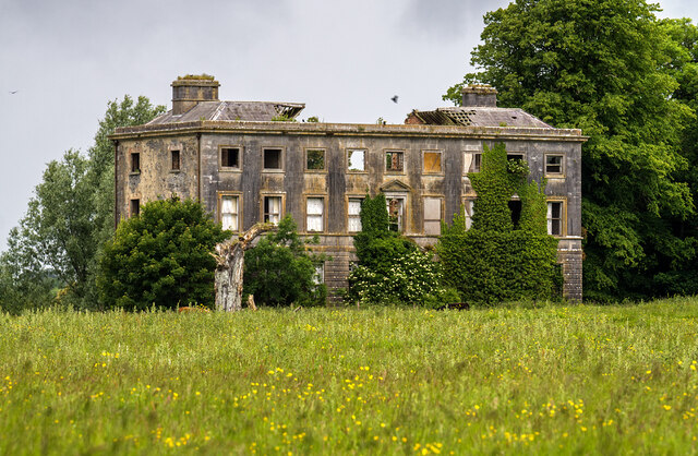 Williamstowncountry house · 1360 yd
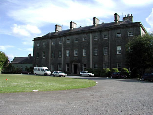 Headfort Housecountry house · 1542 yd
 Fulacht fia in Archdeaconry GlebeFulacht fia · 1.0 mi
 Headfort Grove 1976-2016Memorial · 1.2 mi
 BalreaskMountain / peak · 1.3 mi
 CastleCastle, unclassified · 1.3 mi
 Castle ruinsCastle · 1.6 mi
 DeerparkMountain / peak · 1.7 mi