What is recorded here
Situated on a slight W-facing slope and c. 35m outside the W wall of the old graveyard at Dulane (ME011-037004-). In August 1961 a curved portion of a Man-made underground passage passage came light and was recorded by E. Rynne of the National Museum of Ireland. The displaced lintel had probably been opened before and the passage beneath was largely filled with earth. From the entry point the passage extended N, curving E, and S where it also curved E (total L 12m). The passage was narrow (Wth c. 0.75-0.9m; max. H 1-1.m) with the walls corbelling in slightly to the lintelled roof, and it was blocked at both ends by collapse.
The above description is derived from the published 'Archaeological Inventory of County Meath' (Dublin: Stationery Office, 1987). In certain instances the entries have been revised and updated in the light of recent research.
Compiled by: Michael Moore
Date of revision: 9 April 2019
The monument record does not grant public access. Check the route and ask the landowner before entering private land.
- What survives
- Recorded monument
Places near here
 ChapelChurch · 102 yd
 Addie's WoodWood · 443 yd
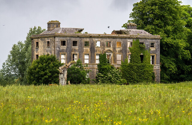 Williamstowncountry house · 448 yd
 Lime Kiln PlantationWood · 812 yd
 MountainpoleMountain / peak · 1669 yd
 Standing StoneArchaeological place · 1.0 mi
 Kells Anglers Association MemorialMemorial · 1.4 mi
 Fulacht fia in Archdeaconry GlebeFulacht fia · 1.4 mi
 John Mac MahonMemorial · 1.6 mi
 CastleCastle, unclassified · 1.8 mi
 DeerparkMountain / peak · 1.8 mi
 MoatCastle, motte and bailey · 2.0 mi