
What is recorded here
Situated in a fold on a gentle N-facing slope. Archaeological testing (04E0034) by B. Halpin of a fairly small area (c. 2 ha) identified a burnt mound (excavations.ie 2004:1255), which was subsequently fully excavated (04E0261) by the same archaeologist (excavations.ie 2004:1256). It consists of a circular mound (diam. 9.5m N-S; 9.2m E-W; max. T 0.28m) of a charcoal-rich soil with broken and burnt sandstone. There were four pits (dims 06m x 0.3m; D 0.18m to 1.52m x 1.3m; D 0.38m) filled with the same material outside the spread. A rectangular trough (dims 1.95m E-W; 1.3m N-S: D 0.28-0.45m) with a large post-hole in each corner was beneath the SW edge of the mound. There was some evidence of plank-lining on the S side of the trough, from where a gully (Wth 0.3m; D 0.1m) extended off to the SE (L 3m). No artefacts were recovered, but about 9m to the NE was a second fulacht fia (ME017-069002-). (Halpin 2004)
Compiled by: Michael Moore
Date of upload; 26 February 2021
The monument record does not grant public access. Check the route and ask the landowner before entering private land.
- What survives
- Recorded monument
Places near here
 Kells Union Workshop, site ofArchaeological place · 390 yd
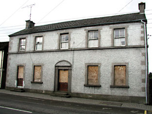 Maudlin Househouse · 570 yd
 Headfort Grove 1976-2016Memorial · 596 yd
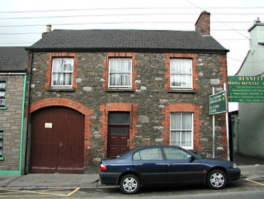 The Stone Househouse · 639 yd
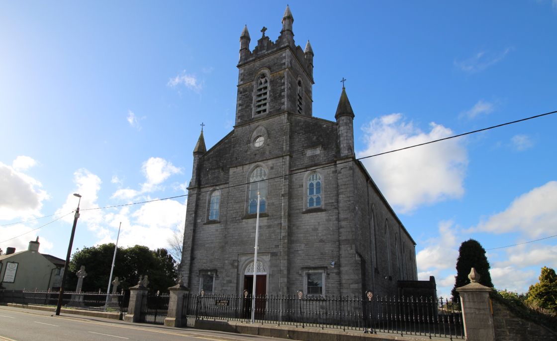 Font (present location) in Town Parks (kells Upper By.)Font (present location) · 708 yd
 Kells Anglers Association MemorialMemorial · 744 yd
 CastleCastle, unclassified · 757 yd
 Mausoleum WoodWood · 1229 yd
 Heronry WoodWood · 1271 yd
 MountainpoleMountain / peak · 1.6 mi
 Castle ruinsCastle · 1.6 mi
 BalreaskMountain / peak · 2.2 mi
Other information
Photo: Credit not shown in the picture search · Rights wording not checked; contact us if this picture should be removed