
What is recorded here
Road bridge (Wth 5.2m; long axis E-W) spanning the Glashananinnaun Stream. Built of random rubble sandstone. Single segmental arch with roughly shaped voussoirs; alternate voussoirs project beyond face of bridge. Upstream (S) side of bridge appears to have been extended and is now masked in concrete. Surviving N parapet has vertical stone coping and its ends curve away from road. Two rock cut steps, apparently manmade, form a cascade on the downstream side.
Compiled by: Elizabeth Byrne, Ursula Egan and Sheila Ronan, Archaeological Survey Unit, University College, Cork.
Date of upload: 30 May 2011
The monument record does not grant public access. Check the route and ask the landowner before entering private land.
- What survives
- Recorded monument
Places near here
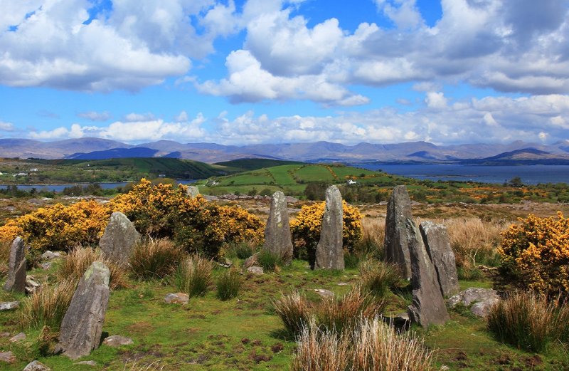
 Boulder-burial in Ardgroom OutwardBoulder-burial · 610 yd
 Bird IslandIslet · 836 yd
 Keeragh MountainMountain / peak · 1435 yd
 Dromard FortFairy fort / earthen ringfort · 1533 yd
 Drung HillMountain / peak · 1.0 mi
 Ardgroom Pulleen LoopWalking route · 1.8 mi
 Eskadawer Br.Bridge · 1.9 mi
 Cappul Bridgebridge · 1.9 mi
 Japanese cedarJapanese cedar · 3.4 mi
 Soft Tree-fernSoft Tree-fern · 3.4 mi
 Sherky IslandIslet · 3.4 mi
 Beara WayWalking route · 4.6 mi
Other information
Photo: Credit not shown in the picture search · Rights wording not checked; contact us if this picture should be removed