
What is recorded here
Situated on a NE-SW section of an esker ridge with wide views all around. This is a subcircular, grass-covered mound with a slightly rounded top (dims of top 19m E-W; 13m N-S; dims of base 36m N-S; 28m E-W; H 2.3m at NE and 3.7m SW across the ridge to 5.5m at SE and 8m at NW). It is defined by a fosse (Wth of top 9m; int. D 2.1m; ext. D 0.5m) across ridge ENE-SSE where it can be distinguished from the mound and it is bordered by a relict NW-SE field bank (Wth 2.5m; H 0.3-0.7m) SW-W.
The above description is derived from the published 'Archaeological Inventory of County Meath' (Dublin: Stationery Office, 1987). In certain instances the entries have been revised and updated in the light of recent research.
Compiled by: Michael Moore
Date of revision: 2 June 2016
Amended: 24 March 2023
A local castle; wider significance not recorded.
The monument record does not grant public access. Check the route and ask the landowner before entering private land.
- What survives
- Recorded monument
Places near here
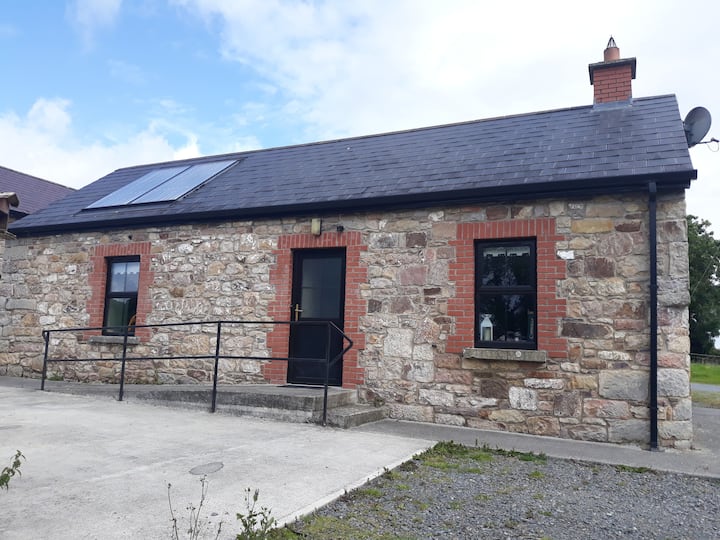 Enclosure in WindtownEnclosure · 1373 yd
 Saints IslandForest · 1.1 mi
 Dangan CastleCastle, tower house · 1.3 mi
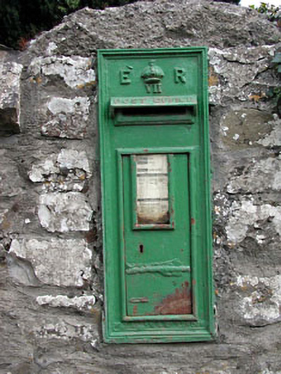 post boxpost box · 1.4 mi
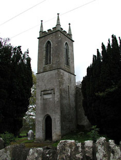 Saint Mary's Church (Galtrim)church/chapel · 1.4 mi
 EnclosureEnclosure, large enclosure · 1.4 mi
 Galtrim MoatCastle, motte · 1.4 mi
 European ashEuropean ash · 2.4 mi
 MullaghMountain / peak · 6.0 mi
 1798 MemorialMemorial · 6.7 mi
 Lismahon 1798 MemorialMonument · 8.6 mi
 Candle HillMountain / peak · 9.0 mi
Other information
Photo: Credit not shown in the picture search · Rights wording not checked; contact us if this picture should be removed