What is recorded here
Fairy fort in Foxtown, County Meath: a grass-covered circular platform about thirty metres across, raised by a scarp and outer fosse, with a SE entrance and old quarries at E and S. It sits low in an undulating landscape, near an esker ridge and higher ground, the kind of place people once shaped for living, keeping, or simply marking the edge of the known.
Situated in a fairly low-lying position in an undulating landscape with a NNW-SSE esker ridge c. 200m to the W and higher ground to the N and SE. This is a raised and slightly domed, grass-covered and circular platform (diam. 32.5m N-S; 29.5m E-W) defined by a scarp (Wth 7-7.2m; H 2-2.2m) and an outer fosse (Wth of top 9.5-11; ext. D 0.5m). The widened ramp entrance (Wth of base 4.2m) with a causeway (Wth of top 1.8m; H 0.4m) is at SE, but there are old quarries at E and S.
The above description is derived from the published 'Archaeological Inventory of County Meath' (Dublin: Stationery Office, 1987). In certain instances the entries have been revised and updated in the light of recent research.
Compiled by: Michael Moore
Date of revision: 21 August 2019
The monument record does not grant public access. Check the route and ask the landowner before entering private land.
- What survives
- Recorded monument
Places near here
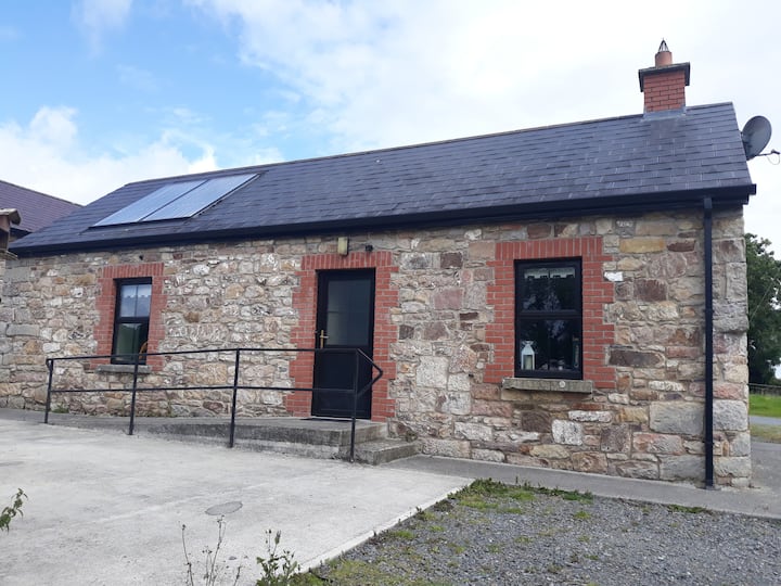 Enclosure in WindtownEnclosure · 993 yd
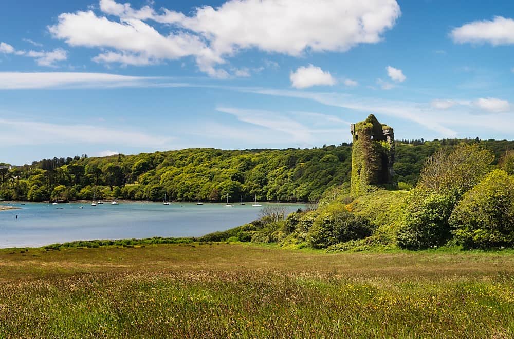 Walshs RaheenFairy fort / earthen ringfort · 1198 yd
 Ginnets MoatCastle, motte · 1634 yd
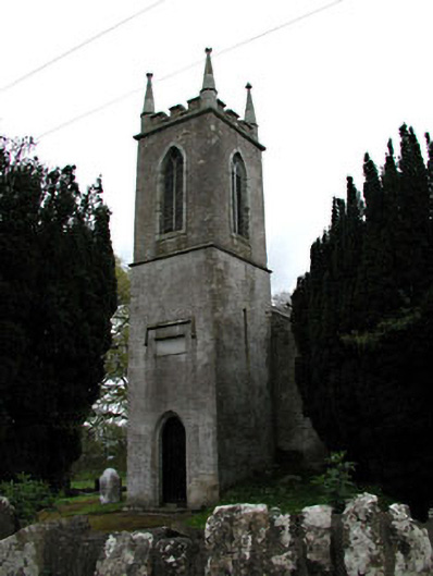 Saint Mary's Church (Galtrim)church/chapel · 1.2 mi
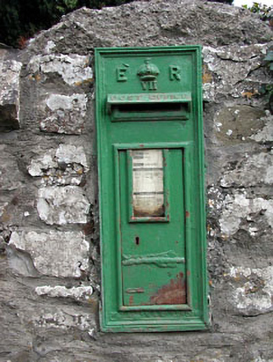 post boxpost box · 1.2 mi
 Galtrim MoatCastle, motte · 1.3 mi
 Saints IslandForest · 2.0 mi
 European ashEuropean ash · 3.1 mi
 Battle of Tara (Ireland)Major battlefield · 5.5 mi
 Battle of Tara Hillbattle · 5.5 mi
 Saint Patrick'sMemorial · 5.6 mi
 Tara Open StudioGallery · 5.7 mi