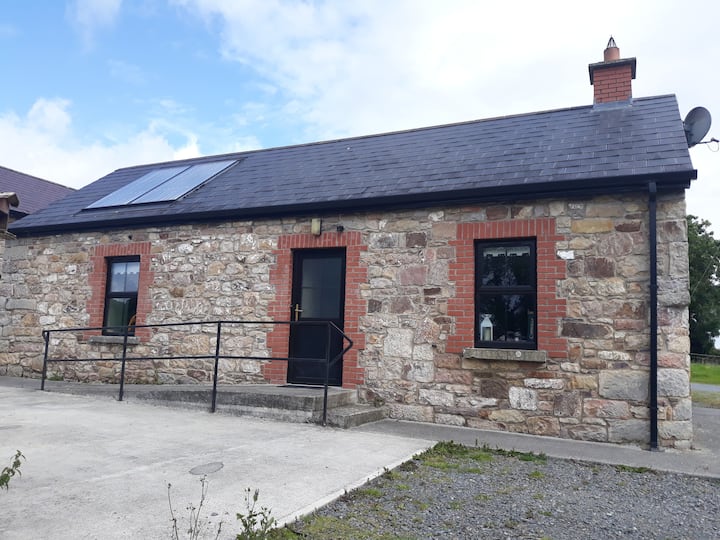
What is recorded here
Situated on a rise in an undulating landscape. The cropmark of a circular enclosure (diam. c. 25m) defined by a single fosse feature is visible on Google Earth (14/07/2018). A NE-SW field bank is just to the NW, and another field bank extends NW from it just at the enclosure but a field bank extending SE, which would have bisected the enclosure was never constructed. Nevertheless, it could be a tree-ring as Windtown House is c. 250m to the SW. It was first reported by Jean Charles Caillère.
See the attached image from Google Earth 14/07/2018
Compiled by: Michael Moore
Date of upload: 5 June 2019
The monument record does not grant public access. Check the route and ask the landowner before entering private land.
- What survives
- Recorded monument
Places near here
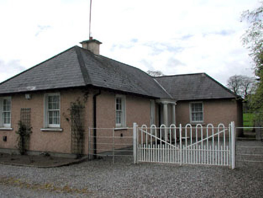 Galtrim Housegate lodge · 1063 yd
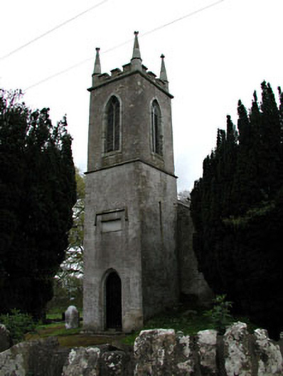 Saint Mary's Church (Galtrim)church/chapel · 1238 yd
 Ginnets MoatCastle, motte · 1373 yd
 Galtrim MoatCastle, motte · 1387 yd
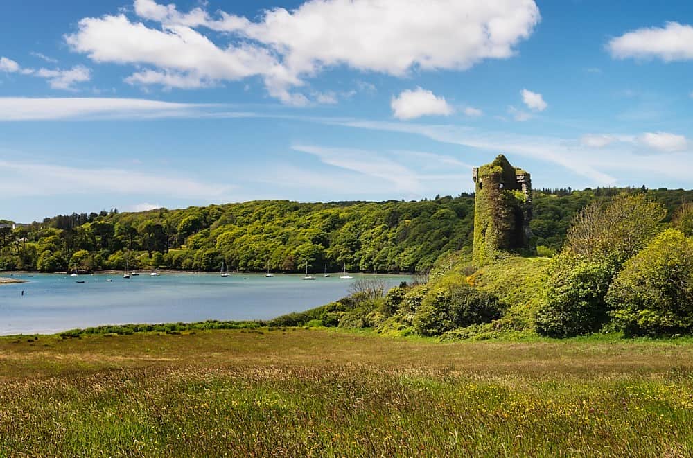 Walshs RaheenFairy fort / earthen ringfort · 1643 yd
 Old Burial GroundChurch · 1.6 mi
 Saints IslandForest · 1.6 mi
 European ashEuropean ash · 2.6 mi
 MullaghMountain / peak · 5.5 mi
 Battle of Tara (Ireland)Major battlefield · 5.8 mi
 Battle of Tara Hillbattle · 5.8 mi
 Saint Patrick'sMemorial · 6.0 mi
Other information
Photo: Credit not shown in the picture search · Rights wording not checked; contact us if this picture should be removed