
What is recorded here
Located towards the SE end of a narrow E-W ridge or spur, overlooking Anagose Lough to the SW, and to the N there is a small ESE-WNW valley opening out to the W. A small chamber (L 1.9m; Wth 0.9m) defined by three side stones and a transversely set stone, perhaps indicating a portico, is aligned E-W. Two roof stones suggest a gallery extending 3m to the E. Two stones to the N of the chamber entrance may be façade stones; three others, one beneath the easternmost roof stone, may represent outer walling. The structure is incorporated in a cairn (L 7m; Wth 5m) and partly concealed by a field bank at SW. It is probably a wedge-tomb.
The above description is derived from the published 'Archaeological Inventory of County Monaghan' (Dublin: Stationery Office, 1986). In certain instances the entries have been revised and updated in the light of recent research.
Date of revision: 30 January 2018
Portal dolmen; likely dates to the Neolithic period (c. 4000–2500 BCE). Its significance lies in its association with early megalithic funerary traditions in the region, reflecting communal burial practices and early social organisation.
The monument record does not grant public access. Check the route and ask the landowner before entering private land.
- What survives
- Recorded monument
Places near here
 Lisarrilly HillMountain / peak · 947 yd
 Court tomb in CashlanCourt tomb · 961 yd
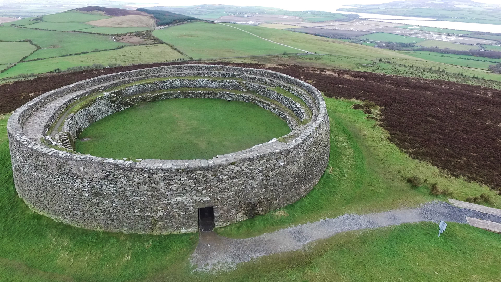 Annagose fortFairy fort / earthen ringfort · 1180 yd
 Roosky Castle (Site of)Castle, ringwork · 1546 yd
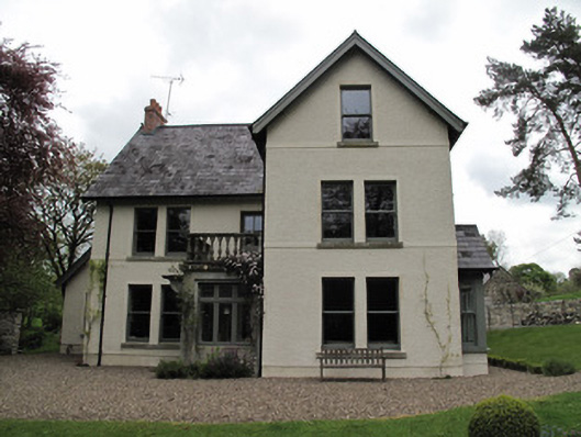 Millviewmill manager's house · 1638 yd
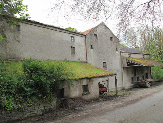 Historic buildingOfficially recorded historic building · 1693 yd
 Jaundice WellSpring · 2.8 mi
 Common LimeCommon Lime · 2.8 mi
 KillycoonaghWood · 2.9 mi
 Tomb HillMountain / peak · 3.0 mi
 Saint John's WellSpring · 3.1 mi
 Dagda's CauldronHeritage attraction · 5.1 mi
Other information
Photo: Credit not shown in the picture search · Rights wording not checked; contact us if this picture should be removed