What is recorded here
Fairy fort in Cormoy, County Monaghan: a circular earthen enclosure about thirty metres across, marked as a fort on the 1834 map and still faintly visible in later survey and aerial images. It sits on a slight shelf of a drumlin ridge, the kind of place where people may have kept livestock, hidden in stormtime, or simply drawn a line around their own lives. The grass has almost taken it back, but the circle remains, patient and unowned.
Located on a slight shelf towards the top of the W-facing slope of NNW-SSE drumlin ridge. An embanked circular enclosure (ext. diam. c. 30m) is depicted only on the 1834 edition of the OS 6-inch map where it is described in gothic lettering as a ‘fort’. Slight traces of a circular enclosure defined by a low bank were visible in 1942 (SMR file) and a grass-covered rise (diam. c. 27m) was still visible in 1968. It is faintly visible as a circular enclosure defined by two fosse features (ext. diam. c. 40m) is visible on OSI aerial images (1995).
The above description is derived from the published 'Archaeological Inventory of County Monaghan' (Dublin: Stationery Office, 1986). In certain instances the entries have been revised and updated in the light of recent research.
Revised by: Michael Moore
Date of revision: 8 May 2018
The monument record does not grant public access. Check the route and ask the landowner before entering private land.
- What survives
- Recorded monument
Places near here
 CairnCairn, unclassified · 139 yd
 9Archaeological place · 967 yd
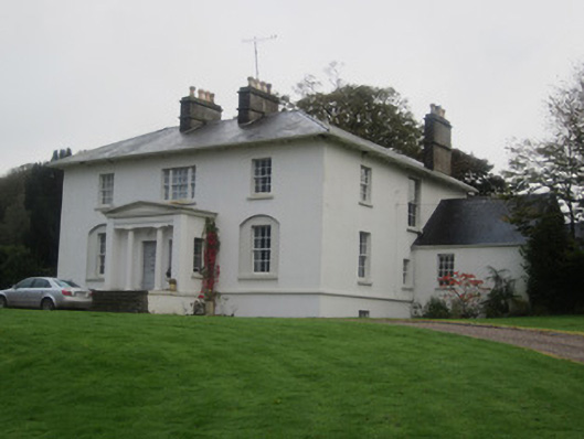 Glinch Housecountry house · 1059 yd
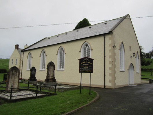 Newbliss Presbyterian Churchchurch/chapel · 1346 yd
 Roosky Castle (Site of)Castle, ringwork · 1.2 mi
 Lisarrilly HillMountain / peak · 1.2 mi
 Common LimeCommon Lime · 2.2 mi
 KillycoonaghWood · 2.3 mi
 Tomb HillMountain / peak · 2.5 mi
 Saint John's WellSpring · 2.5 mi
 Jaundice WellSpring · 2.8 mi
 Dagda's CauldronHeritage attraction · 6.0 mi