
What is recorded here
Situated at the crest of a W-facing slope. There is a description from 1942 of a low earth and stone mound ’one and a half feet high and 13 feet across (diam. c. 4m; H c. 0.45m)’ with charcoal in the matrix and some boulders on the perimeter at W (SMR file). It appears not to have survived (OSAP) and its precise location is not known.
The above description is derived from the published 'Archaeological Inventory of County Monaghan' (Dublin: Stationery Office, 1986). In certain instances the entries have been revised and updated in the light of recent research.
Revised by: Michael Moore
Date of revision: 8 May 2018
A Neolithic cairn; its significance lies in the presence of charcoal, suggesting funerary or ritual use typical of early farming communities in the region.
The monument record does not grant public access. Check the route and ask the landowner before entering private land.
- What survives
- Recorded monument
Places near here
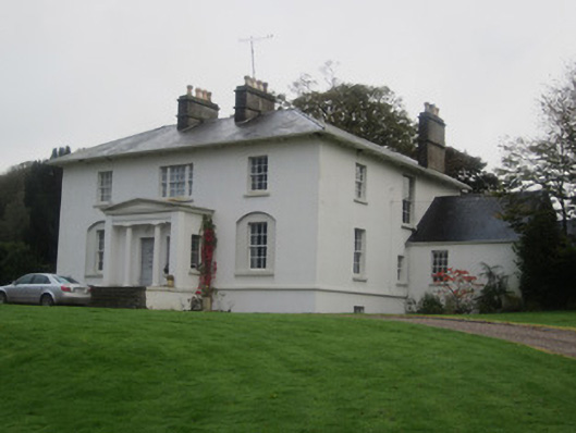 Glinch Housecountry house · 1043 yd
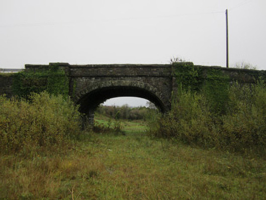 bridgebridge · 1081 yd
 9Archaeological place · 1106 yd
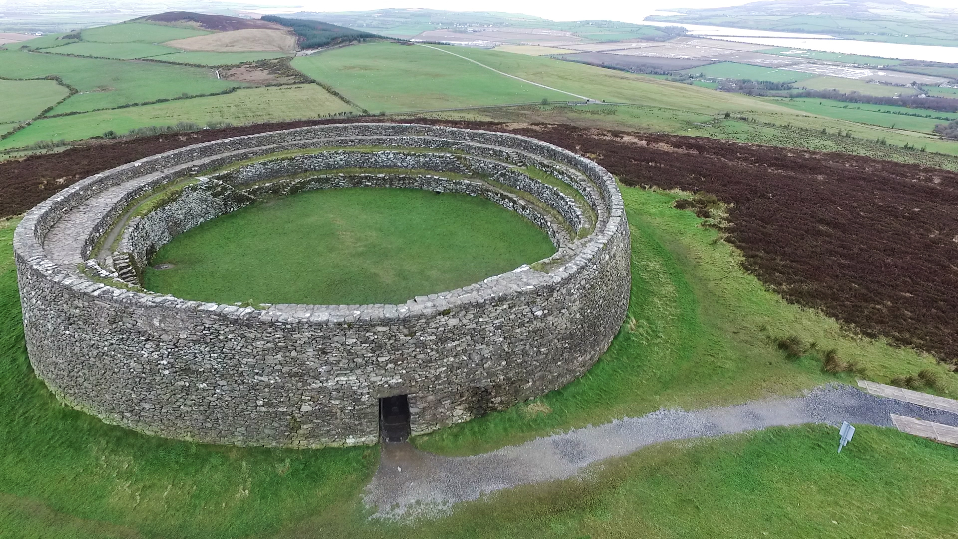 Annagose fortFairy fort / earthen ringfort · 1420 yd
 Roosky Castle (Site of)Castle, ringwork · 1.2 mi
 Lisarrilly HillMountain / peak · 1.3 mi
 Common LimeCommon Lime · 2.2 mi
 KillycoonaghWood · 2.4 mi
 Tomb HillMountain / peak · 2.4 mi
 Saint John's WellSpring · 2.5 mi
 Jaundice WellSpring · 2.9 mi
 Dagda's CauldronHeritage attraction · 6.0 mi
Other information
Photo: Credit not shown in the picture search · Rights wording not checked; contact us if this picture should be removed