What is recorded here
Towards the bottom of the N-facing slope of a low E-W ridge. A single chamber (dims 9m NW-SE; 1.55m NE-SW to 2m NE-SW at SE) now filled with field stones is defined by four stones (dims 1.25-2.15m x 0.15-0.4m; H 0.2-0.8m) on the NE side and two (dims 2.1m x 0.25-0.35m; H 0.3-1m) on the SW side. There is a single stone at NW (dims 1m x 0.3m; H 0.63m) and SE (dims 1.6m x 0.25m; H 0.25m). It may be a court tomb. Rath (RO007-025001-) is c. 140m to the SSW and enclosure (RO007-026----) is c. 140m to the SSE. (de Valera and O'Nuallain 1972, 34-5)
Compiled by: Michael Moore
Date of upload: 24 August 2010
See linked document with details from Ruaidhrí de Valera and Seán Ó Nualláin, Survey of the Megalithic Tombs of Ireland. Volume III. Counties Galway, Roscommon, Leitrim, Longford, Westmeath, Laoighis, Offaly, Kildare, Cavan. (Dublin: Stationery Office, 1972).
Portal dolmen; likely dates to the Neolithic period (c. 4000–2500 BCE). Its significance lies in its construction as part of an early megalithic tradition associated with communal burial and ritual practices in the region.
The monument record does not grant public access. Check the route and ask the landowner before entering private land.
- What survives
- Recorded monument
Places near here
 Embanked enclosureFairy fort / earthen ringfort · 170 yd
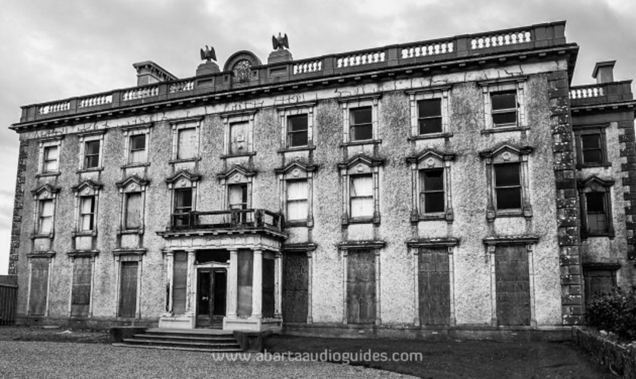 Enclosure in LisfarrellboyEnclosure · 174 yd
 Cootehall Bridgebridge · 480 yd
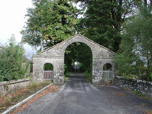 The Bawndemesne walls/gates/railings · 566 yd
 IndicatedBawn · 727 yd
 Hughestown WoodForest · 1.2 mi
 Longford HillMountain / peak · 2.8 mi
 Horse-chestnutHorse-chestnut · 3.3 mi
 Battle of Áth an Chipbattle · 3.4 mi
 PortCastle, unclassified · 3.4 mi
 Swallow IslandIslet · 3.5 mi
 Moon RiverHeritage attraction · 3.6 mi