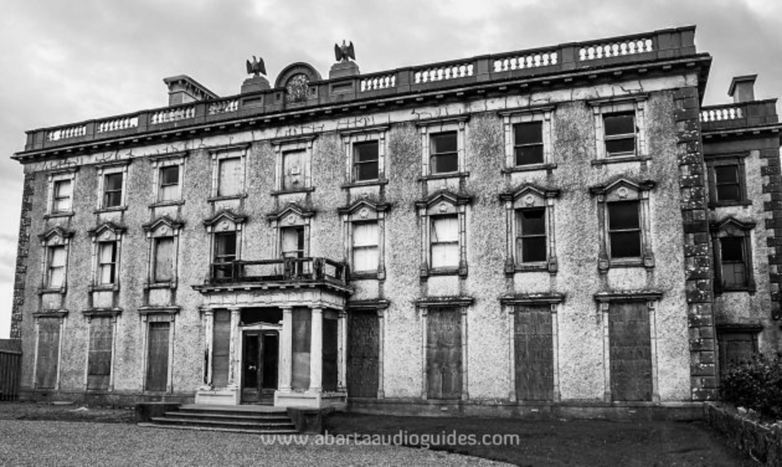
What is recorded here
Marked as a small enclosure (diam. c. 10m) only on the 1914 ed. of the OS 6-inch map, and situated towards the top of the SW-facing slope of a low E-W ridge. Oval grass-covered area (dims 11.5m NNE-SSW; 7.5m WNW-ESE) defined by a grass-covered stone spread (Wth 3m; int. H 0.3-0.6m; ext. H 0.1m at N to 0.7m at SE) WNW-N-SE, and a scarp (max. H 0.7m) elsewhere. It may be a hut-site. Rath (RO007-025001-) is c. 70m to the W, rath (RO007-025002-) is c. 70m to the SW, rath (RO007-027----) is c. 120m to the E, and rath (RO007-028----) is c. 70m to the SE, while the unclassified megalithic structure (RO007-024----) is c. 140m to the NW.
Compiled by: Michael Moore
Date of upload: 24 August 2010
A local fairy fort (ringfort/rath); wider significance not recorded.
The monument record does not grant public access. Check the route and ask the landowner before entering private land.
- What survives
- Recorded monument
Places near here
 Embanked enclousreFairy fort / earthen ringfort · 152 yd
 Embanked enclosureFairy fort / earthen ringfort · 592 yd
 Cootehall Bridgebridge · 648 yd
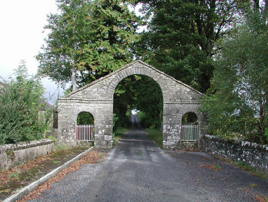 The Bawndemesne walls/gates/railings · 739 yd
 IndicatedBawn · 901 yd
 Hughestown WoodForest · 1.2 mi
 Longford HillMountain / peak · 2.8 mi
 PortCastle, unclassified · 3.3 mi
 Battle of Áth an Chipbattle · 3.3 mi
 Horse-chestnutHorse-chestnut · 3.3 mi
 Moon RiverHeritage attraction · 3.5 mi
 Swallow IslandIslet · 3.6 mi
Other information
Photo: Credit not shown in the picture search · Rights wording not checked; contact us if this picture should be removed