What is recorded here
In pasture, which is cut by land drains and watercourses, 130m E of a townland boundary with Rockbarton. A ringfort (LI032-118----) lies 110m to SE. Annotated ‘Giant’s Grave’ on the 1897 ed. OSi 25-inch map where it is depicted as a rectangular-shaped structure (5m E-W; 3m N-S). Described in the Megalithic Survey of Ireland (De Valera & O Nualláin 1982, 78) as: ‘A slab measuring 3.00m by 1.20m, resting above two smaller slabs, 1.00m and 1.50m respectively, in maximum dimension. A stone 1.00m in maximum dimension lies 1.50m to the north of the western end of the upper slab. The object could be the remains of a megalithic tomb but the evidence is not sufficient to warrant its inclusion in our main list’. Upstanding monument is visible as a large flagstone on OSi orthoimages taken 2005-2012, on Digital Globe orthoimages taken 2011-2013 and on Google Earth orthoimage taken 28/06/2018.
In pasture, which is cut by land drains and watercourses, 130m E of a townland boundary with Rockbarton. A ringfort (LI032-118----) lies 110m to SE. Annotated ‘Giant’s Grave’ on the 1897 ed. OSi 25-inch map where it is depicted as a rectangular-shaped structure (5m E-W; 3m N-S). Described in the Megalithic Survey of Ireland (De Valera & O Nualláin 1982, 78) as: ‘A slab measuring 3.00m by 1.20m, resting above two…
From the National Monuments Service (Archaeological Survey of Ireland) record LI032-117
The monument record does not grant public access. Check the route and ask the landowner before entering private land.
- What survives
- Recorded monument
Places near here
Photo credits
- National Inventory of Architectural Heritage
- Ballyhoura Failte, Wikimedia Commons · CC BY-SA 2.0
- Martin Richard Phelan, Wikimedia Commons · CC BY-SA 2.0
- Ruhrfisch, Wikimedia Commons · CC BY-SA 4.0
- Oliver Dixon, Wikimedia Commons · CC BY-SA 2.0
- Algirdas at Lithuanian Wikipedia, Wikimedia Commons · Public domain
- Martin Richard Phelan, Geograph · CC BY-SA 2.0
- Oliver Dixon, Geograph · CC BY-SA 2.0
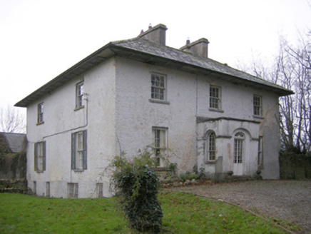 Glebe HouseRectory/glebe/vicarage/curate's house · 316 yd
 Ballynagallagh CottageHouse · 824 yd
 Giants GraveMegalithic tomb · 1215 yd
 Grange Stone circleVisitor information · 1425 yd
 Grange Stone CircleArchaeological place · 1427 yd
 Stone CirclesStone circle, embanked · 1430 yd(Site of) Tullabracky CastleCastle, unclassified · 1474 ydBawn in Grange (smallcounty By.)Bawn · 1570 yd
 Pedunculate Oak1.6 mi
 Lough Gur Heritage CentreVisitor information · 1.8 mi
 The SpectaclesVisitor information · 1.8 miGlen BogForest · 1.8 mi
More archaeology and monuments in County Limerick · All of County Limerick
What do you know about this place?