
What is recorded here
Tullabracky Castle vanished around 1810 when John Malony levelled the stones to build his farm, yet fragments still hide inside the modern stable walls. The site sits beside a holy well and near Tullabracky Church, keeping a quiet life beneath ordinary country fields. What looked like progress may have been theft, taking ancient brickwork for private use while the well watched unchanged.
No surface remains visible of levelled castle situated immediately S of a holy well (LI031-079-----) with Tullabracky Church (LI031-077001-) 180m to N. Castle site described in 1840 as following; 'in the immediate vicinity of the holy well, there was an old Castle called Tullabracky Castle, which was levelled about thirty years ago [c. 1810] by John Malony, the father of the present farmer who occupies the house built on or near its site; part of one of the walls of the Castle is said to enter into the building of a stable belonging to the house. Immediately over the well and running north and south there is portion of a wall, considered by the people as having belonged to Tullabracky Castle! It may possibly be one of the outworks' (OSL vol. 2, 34).
Tullabracky Castle described by Westropp (1906-7, 169) as following; '1185 Tullabraci granted to Abbey of Magio (charter). 1302 The corn seized for the King, given to W. le White of Tylaghbrek and others (Justic. R. Cal., p. 466). 1308 Tullachbrek Manor, on the death of Bishop Robert Dundonyll, was taken into the King's hands (Pipe R.). 1655 Tullabreacoke or Tullabracky (C.S., xxiv., p. 14). Fabric. It was nearly levelled in 1810 by J. Molony; parts remain embedded in the stables of the modern house'
Compiled by: Caimin O'Brien
Date of upload: 12 March 2019
Tullabracky Castle was likely built by the Fitzgerald family, who were prominent in the region during the late medieval period. The site is remembered for its historical association with local Gaelic lordship and its proximity to a holy well, indicating its possible strategic and religious significance.
The monument record does not grant public access. Check the route and ask the landowner before entering private land.
- What survives
- Recorded monument
Places near here
 Burial GroundGraveyard · 223 yd
 Habitation site in GrillaghHabitation site · 1060 yd
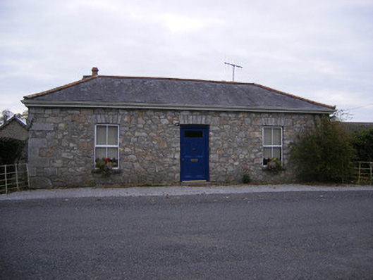 Rockbarton Housegate lodge, outbuilding · 1347 yd
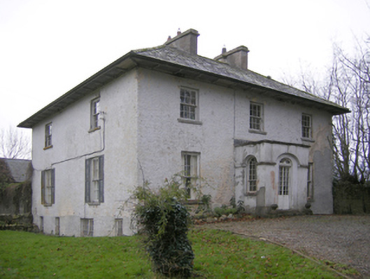 Glebe Houserectory/glebe/vicarage/curate's house · 1.0 mi
 CastleCastle, unclassified · 1.1 mi
 Castle (in ruins)Castle, unclassified · 1.3 mi
 Lough GurVisitor information · 1.6 mi
 Grange Stone CircleArchaeological place · 1.6 mi
 Pedunculate OakPedunculate Oak · 2.4 mi
 KnockainyMountain / peak · 3.5 mi
 Flat cemetery in Knockainy WestFlat cemetery · 4.5 mi
 European ashEuropean ash · 5.6 mi
Other information
Photo: Credit not shown in the picture search · Rights wording not checked; contact us if this picture should be removed