
What is recorded here
Tullabracky church ruins (LI031-077001-) stands in NW quadrant of rectangular shaped graveyard (approx. dims. 25m N-S x 52m E-W) enclosed by a post-1700 stone wall. Holy well (LI031-079----) and Tullabracky Castle (LI031-078----) lie 180m to S. Graveyard contains memorials dating from the 18th century onwards.
Compiled by: Caimin O'Brien
Date of upload: 12 March 2019
The monument record does not grant public access. Check the route and ask the landowner before entering private land.
- What survives
- Recorded monument
Places near here
 (Site of) Tullabracky CastleCastle, unclassified · 223 yd
 Habitation site in GrillaghHabitation site · 963 yd
 Moated site in ArdanreaghMoated site · 1128 yd
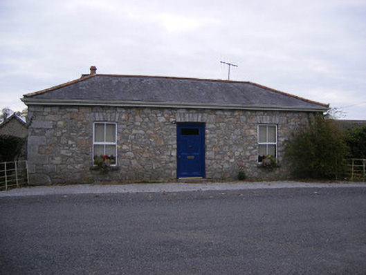 Rockbarton Housegate lodge, outbuilding · 1171 yd
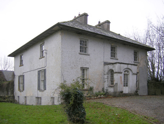 Glebe Houserectory/glebe/vicarage/curate's house · 1575 yd
 CastleCastle, unclassified · 1.0 mi
 Lough GurVisitor information · 1.5 mi
 Grange Stone CircleArchaeological place · 1.5 mi
 Pedunculate OakPedunculate Oak · 2.3 mi
 Lough Gur Heritage CentreVisitor information · 2.5 mi
 KnockainyMountain / peak · 3.5 mi
 Flat cemetery in Knockainy WestFlat cemetery · 4.5 mi
Other information
Photo: Credit not shown in the picture search · Rights wording not checked; contact us if this picture should be removed