What is recorded here
On the Deer Park of Rockbarton House, 90m SW of the townland boundary with Raheen and 2.3km WSW of Lough Gur. A cashel (LI031-041010-) at Cahirguillamore lies 350m to NW and Rockbarton House (NIAH Reg. No. 21903123) lies 370m to E. Not depicted on OSi historic maps. The enclosure is not visible on OSi orthoimages taken 2005-12 nor is it visible on Digital Globe orthoimages taken 2011-2013. Identified by Bruff aerial photographic survey in 1986 (Bruff 73: 4/3600) as an enclosure. The enclosure is not visible on Google Earth orthoimage taken 28/06/2018, the location is covered by mature woodland. The exact location of the site is uncertain. An ornamental pond and island now occupies the area labelled Bruff 73 on the SMR map
See attached image showing the site labelled Bruff 73 on SMR map
Compiled by: Edmond O’Donovan
Date of upload: 20 October 2020
The monument record does not grant public access. Check the route and ask the landowner before entering private land.
- What survives
- Recorded monument
Places near here
 CastleCastle, unclassified · 252 yd
 Stone CircleFairy fort / stone ringfort · 348 yd
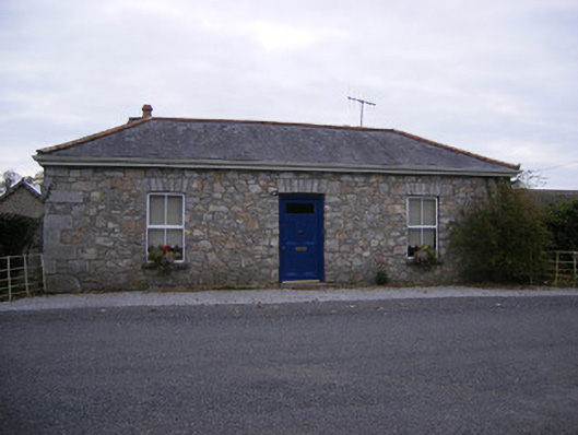 Rockbarton Housegate lodge, outbuilding · 394 yd
 Enclosure in Raheen (coshma By.)Enclosure · 399 yd
 RoadRoad, road/trackway · 513 yd
 (Site of) Tullabracky CastleCastle, unclassified · 1725 yd
 Lough GurVisitor information · 1.2 mi
 Grange Stone CircleArchaeological place · 1.3 mi
 Pedunculate OakPedunculate Oak · 2.2 mi
 The SpectaclesVisitor information · 2.3 mi
 Lough Gur Heritage CentreVisitor information · 2.3 mi
 KnockainyMountain / peak · 4.2 mi