
What is recorded here
In former Deer Park, on the demesne lands of Cahir Guillamore House (LI031-041019-) located 900m to N. Earthworks belonging to the medieval village (LI031-041009-) of Cahirguillamore located immediately to N-E-S. Medieval house site (LI031-041030-) 70m to W, historic road (LI031-041028-) 105m to NW. Medieval castle site (LI031-041015-) lies 215m to NE. A possible Man-made underground passage (LI031-041027-) is located within the centre of the cashel.
Annotated 'Stone Circle' on 1840 ed. OSi 6-inch map where it is depicted as a circular arrangement of low orthostats with OS .station marking 320 ft. OD in centre of circle. Annotated ‘Stone Circle (Site of)’ on the 1897 ed. OSi 25-inch map suggesting that the orthostats were removed between these map dates. On the 25-inch map the monument is depicted as a tree-ring and not as an antiquity. Cashel which appears to have been modified as a landscape feature described in 1840 as follows; ‘In Lord Gillamore’s Deer-park in the townland of Caher, there is a circle of stones, about 118 paces [90m] in circumference, about 5½ feet high [1.7m], and 2 ft. [0.6m] or 1½ ft. [0.45m] in thickness. This circular wall, which is formed of regular-sized lime stones, without cement, assumed its present form about 5 years ago; and it is said to have been built with the foundation stones of an old castle [LI031-041015-]; yet some of the inhabitants say that the lower stones retain their original position, which is not like that of the foundation stones of a castle. About 174 paces [132m] N.W. of this is another somewhat similar wall of uncemented stone-work [LI031-041016-)’ (OSL Vol. 2, 97).
Identified by Ó Ríordáin and Hunt (1942, 41) as 'Fort B' and described as following; ‘This appears to us to be a stone-built fort, and not a stone circle, though it was clearly shown as a stone circle on the first survey, It is 26 yards [23m] in internal diameter. There is a long narrow depression in the interior which may be a collapsed Man-made underground passage [LI031-041027-].’ Monument visible as D shaped area (diam. c. 26m) enclosed by grass-covered footings of a low wall, truncated at E by a post-1700 field boundary running N-S, visible on OSi orthophoto taken between 2005-12 and on Google Earth orthoimage dated 20/09/2020. No trace of enclosing element visible on W side of post-1700 field boundary.
See attached Google Earth orthoimages
Compiled by: Fiona Rooney
Date of upload: 31 March 2021
The monument record does not grant public access. Check the route and ask the landowner before entering private land.
- What survives
- Recorded monument
Places near here
 CastleCastle, unclassified · 250 yd
 RoadRoad, road/trackway · 258 yd
 Cahirguillamore, hachuredFairy fort / stone ringfort · 322 yd
 Settlement desertedSettlement deserted, medieval · 417 yd
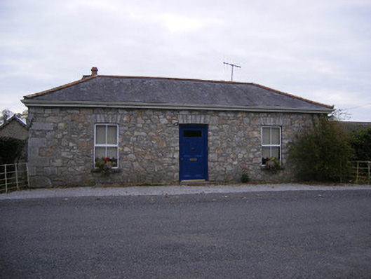 Rockbarton Housegate lodge, outbuilding · 667 yd
 (Site of) Tullabracky CastleCastle, unclassified · 1.1 mi
 Lough GurVisitor information · 1.4 mi
 Grange Stone CircleArchaeological place · 1.4 mi
 KnockainyMountain / peak · 4.4 mi
 European ashEuropean ash · 4.6 mi
 Villiers WellSpring · 5.1 mi
 Flat cemetery in Knockainy WestFlat cemetery · 5.4 mi
Other information
Photo: Credit not shown in the picture search · Rights wording not checked; contact us if this picture should be removed