
What is recorded here
Situated on the W-facing slope of a small N-S ridge. It is marked only on the 1907 edition of the OS 6-inch map where it is described in gothic lettering as a ‘Giant’s Grave’. Trees have been planted in the area and there is no evidence of a megalithic structure.
The above description is derived from the published 'Archaeological Inventory of County Monaghan' (Dublin: Stationery Office, 1986). In certain instances the entries have been revised and updated in the light of recent research.
Revised by: Michael Moore
Date of revision: 22 June 2018
A portal dolmen dating to the Neolithic period; its significance lies in its rare surviving map reference and potential as an early megalithic monument in the region.
The monument record does not grant public access. Check the route and ask the landowner before entering private land.
- What survives
- Recorded monument
Places near here
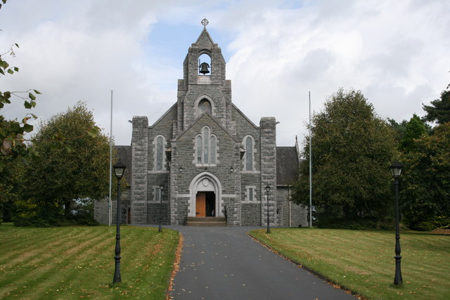 Saint Michael's Catholic Churchchurch/chapel · 125 yd
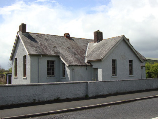 Annyalla National Schoolschool · 233 yd
 Stone CircleKiln, lime · 448 yd
 Michael MooreFairy fort / earthen ringfort · 920 yd
 John Francis GreenMemorial · 3.0 mi
 The CrescentMemorial · 3.2 mi
 Monaghan WayWalking route · 3.2 mi
 Bawn in OnomyBawn · 3.7 mi
 Blaney CastleCastle · 3.7 mi
 Harper's IslandIslet · 3.8 mi
 Garmany's IslandIslet · 3.9 mi
 Fort HillWood · 3.9 mi
Other information
Photo: Credit not shown in the picture search · Rights wording not checked; contact us if this picture should be removed