What is recorded here
In scrub on lower N slope of Knockoura peak. Shown as pair of stones on OS 6-inch map (1842). No visible surface trace.
The above description is derived from the published 'Archaeological Inventory of County Cork. Volume 1: West Cork' (Dublin: Stationery Office, 1992). In certain instances the entries have been revised and updated in the light of recent research.
Date of upload/revision: 14 January 2009
The monument record does not grant public access. Check the route and ask the landowner before entering private land.
- What survives
- Recorded monument
Places near here
 Boulder-burial in UrhinBoulder-burial · 1249 yd
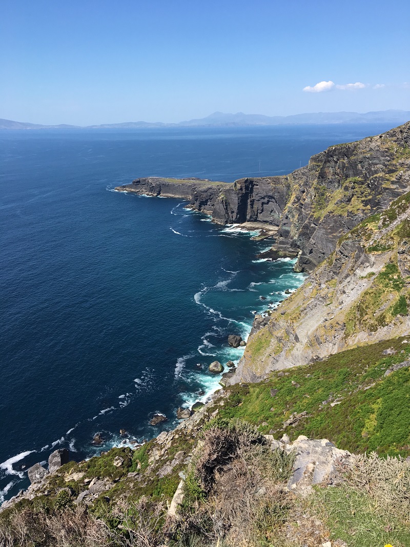 Wild Atlantic WayVisitor information · 1478 yd
 Field boundary in CaherkeenField boundary · 1580 yd
 Church in CaherkeenChurch · 1.0 mi
 RoadRoad, road/trackway · 1.4 mi
 Mass RockVisitor information · 1.7 mi
 KnockgourMountain / peak · 1.7 mi
 Caherkeen Mass RockHeritage attraction · 1.8 mi
 Miskish MountainMountain / peak · 1.8 mi
 Pallas StrandBeach / strand · 2.0 mi
 The BullIslet · 2.4 mi
 Allihies Copper Mine MuseumMuseum · 2.5 mi