What is recorded here
Fairy fort in Caherkeen, County Cork, is a stone-and-earth ringfort on the lower NE-facing slope of Knocknagallaun. Its scarped and wall-edged circle measures about 28 by 25 metres, with a small off-centre hut foundation inside. People may have lived there, resisted rain, or simply marked a boundary the land still remembers.
On lower NE-facing slope of Knocknagallaun. Roughly circular area (27.7m N-S; 24.5m E-W) enclosed by scarp (H 2.2m) N->S, stone faced in parts; by ruined stone wall S->SW; and by sharp rise (H 1.4m) SW->NNW. Interior cuts into hillside to W and is raised on E side to compensate for downslope. Foundations of circular stone-built hut site (5.6m N-S; 6.1m E-W) off-centre to N.
The above description is derived from the published 'Archaeological Inventory of County Cork. Volume 1: West Cork' (Dublin: Stationery Office, 1992). In certain instances the entries have been revised and updated in the light of recent research.
Date of upload/revision: 14 January 2009
The monument record does not grant public access. Check the route and ask the landowner before entering private land.
- What survives
- Recorded monument
Places near here
 Mass RockVisitor information · 375 yd
 Enclosure in CaherkeenEnclosure · 400 yd
 Caherkeen Mass RockHeritage attraction · 516 yd
 IndicatedField system · 545 yd
 Church in CaherkeenChurch · 881 yd
 KnocknagallaunMountain / peak · 1249 yd
 Old MineRuins · 1.3 mi
 DooneenViewpoint · 1.6 mi
 Blue IslandsIslet · 1.7 mi
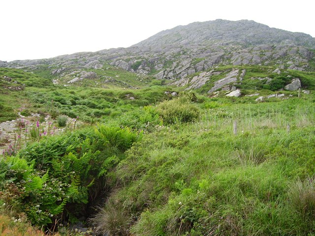 Eagle HillMountain / peak · 1.7 mi
 Allihies Copper Mine MuseumMuseum · 2.1 mi
 Black RockIslet · 2.3 mi