What is recorded here
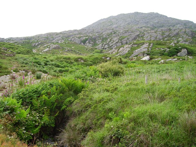
In rough grazing on lower E slopes of Knocknagallaun. D-shaped area (87m NE-SW; 33m NW-SE) defined by low earthen bank (H 0.7m) NNE->SE; stream SE->SW; field fence running SW-NNE. Lazybeds cross interior on N-S axis. Known locally as "Ríoch na cathar".
The above description is derived from the published 'Archaeological Inventory of County Cork. Volume 1: West Cork' (Dublin: Stationery Office, 1992). In certain instances the entries have been revised and updated in the light of recent research.
Date of upload/revision: 14 January 2009
The monument record does not grant public access. Check the route and ask the landowner before entering private land.
- What survives
- Recorded monument
Places near here
 Enclosure in CaherkeenEnclosure · 210 yd
 Wedge tomb in AllihiesWedge tomb · 840 yd
 KnocknagallaunMountain / peak · 928 yd
 Mass RockVisitor information · 1218 yd
 Church in CaherkeenChurch · 1231 yd
 Caherkeen Mass RockHeritage attraction · 1232 yd
 Old MineRuins · 1386 yd
 DooneenViewpoint · 1.2 mi
 Blue IslandsIslet · 1.4 mi
 Allihies Copper Mine MuseumMuseum · 1.6 mi
 Eagle HillMountain / peak · 1.8 mi
 Ballydonegan StrandBeach / strand · 2.2 mi