What is recorded here
From the National Monuments Service (Archaeological Survey of Ireland) record CO133-016
Places near here
Photo credits
- Maker not stated on source page, www.dreamstime.com
- Maker not stated on source page, www.alamy.com
- National Inventory of Architectural Heritage
- Mac McCarron, Geograph · Creative Commons Attribution-ShareAlike 2.0
- Maker not stated on source page, readymap.irish
 Fairy fort / earthen ringfort in Carrigbaun (carbery West (e.d.) By.)Fairy fort / earthen ringfort · 928 yd
Explorer Tom Fairy fort / earthen ringfort in Carrigbaun By.) is a small circle with a bank that only goes partway around. The field…
Fairy fort / earthen ringfort in ReavoulerFairy fort / earthen ringfort · 1.3 miExplorer Tom Fairy fort / earthen ringfort in Reavouler gave up its shallow depression for Lent because it was too lazy to maintain…
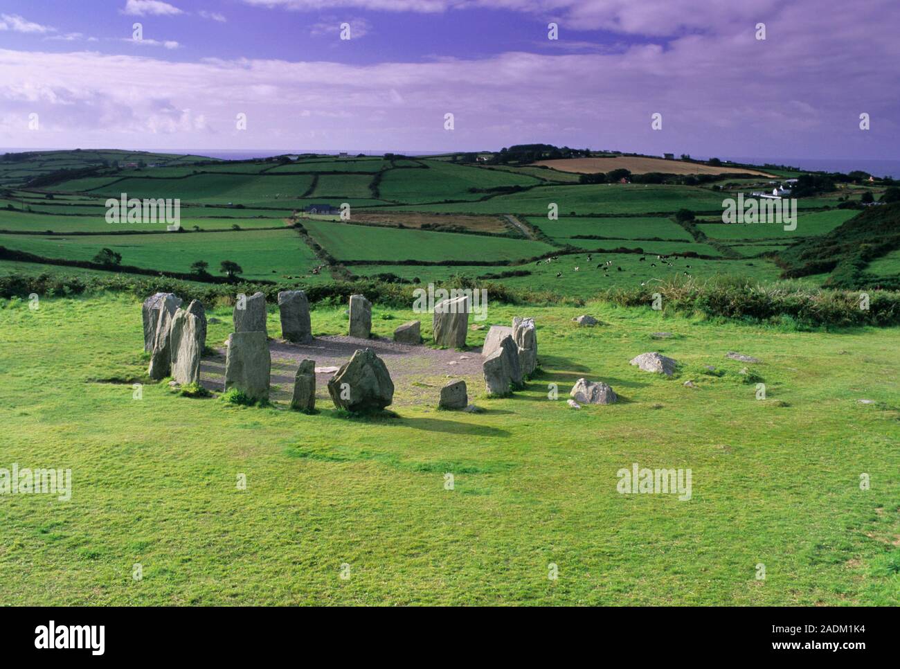 Standing stone in Driminidy SouthStanding stone · 1.4 mi
Explorer Tom Standing stone in Driminidy South overlooks a river valley and has a smaller friend leaning against it like a drunk…
 Scoil Mhuire DraighneaghSchool · 2.0 mi
Explorer Tom Scoil Mhuire Draighneagh is a classic 1960s State school design, which means it probably smells faintly of chalk dust…
 Sacred Heart Roman Catholic ChurchChurch/chapel · 2.1 mi
Explorer Tom Sacred Heart Roman Catholic Church in Paddock was built in 1932 with fish-scale slate bands. It’s got a cruciform plan…
 Church in DromduvaneChurch · 2.1 mi
Explorer Tom Church in Dromduvane had its stones removed around 1935 because apparently they were useful for building fences. No…
 The PresbyteryPresbytery/parochial/curate's house · 2.2 mi
Explorer Tom The Presbytery in Paddock was built c.1880 next to the old church. L-plan and three-bay, very typical for clergy…
Fairy fort / earthen ringfort in Paddock (carbery East (w.d) By., Drinagh Par.)Fairy fort / earthen ringfort · 2.2 miExplorer Tom Fairy fort / earthen ringfort in Paddock By., Drinagh Par.) has an oval shape because it was trying to be round but got…
Fairy fort / earthen ringfort in Milleennahorna (carbery West (e.d) By.)Fairy fort / earthen ringfort · 3.6 miExplorer Tom Fairy fort / earthen ringfort in Milleennahorna By.) has a three-metre bank that is basically saying 'don't touch my…
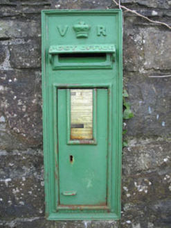 post box3.9 mi
Explorer Tom Post box in Derreeny has a Queen Victoria monogram and crown motif set into a rubble stone wall from 1890. It’s a…
 Derreeney BridgeBridge · 3.9 mi
Explorer Tom Derreeney Bridge: This fine bridge is showing off its skilled craftsmanship like it built the Taj Mahal. Locals swear a…
 Tooreennasillane WoodWood · 5.2 mi
Explorer Tom Tooreennasillane Wood nearly got sold to a horse farmer in the eighties because he thought it looked like a very large…
More archaeology and monuments in County Cork · All of County Cork

What do you know about this place?Tap to add a comment or ask a question