
Places near here
Photo credits
- National Inventory of Architectural Heritage
- Algirdas at Lithuanian Wikipedia, Wikimedia Commons · Public domain
- Aghabullogue GAA / EchoLive source; photographer not named, www.echolive.ie
- Mike Searle, Wikimedia Commons · CC BY-SA 2.0
- Kmcnamee, Wikimedia Commons · CC BY-SA 4.0
- Frabjousone, Wikimedia Commons · CC BY-SA 4.0
 Upper ForrestCountry house · 1469 yd
Explorer Tom Upper Forrest is dressed up in classical style but has lost some of its original charm with new windows. I bet it would…
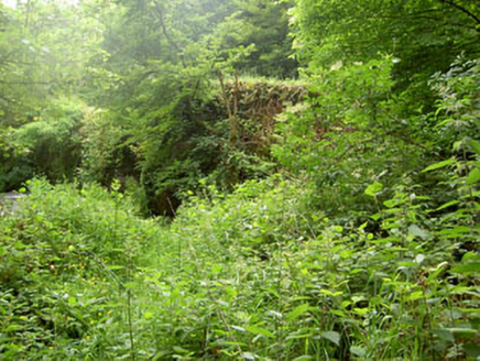 Rye Court BridgeBridge · 1.5 mi
Explorer Tom Rye Court Bridge in Ryecourt is overgrown now, sitting next to a ruined country house like an abandoned uncle at…
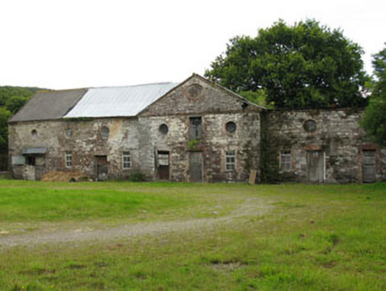 Ryecourt HouseFarmyard complex · 1.5 mi
Explorer Tom Ryecourt House is a farmyard complex that served a big house that’s since been demolished and forgotten. It’s like the…
 Pedunculate Oak1.6 mi
Explorer Tom Another Pedunculate Oak in County Cork is hiding a scandal from centuries ago that involved a missing hat and a very…
 Horan's BarHouse · 1.8 mi
Explorer Tom Horan's Bar in Inchirahilly was built in 1820 on the old road to Macroom. It used to be a public house, so it’s seen…
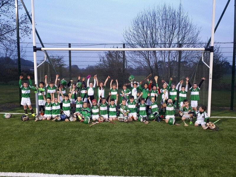 Coachford, AghabullogueGAA ground · 1.9 mi
 bridge2.0 mi
Explorer Tom The bridge in Coolmucky was built for the railway back in 1865, which is basically prehistoric. It carries a road over…
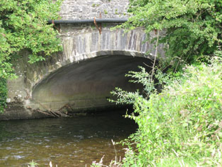 Castlemore BridgeBridge · 2.0 mi
Explorer Tom Castlemore Bridge in Inchirahilly saw a love story go wrong when someone threw their ring into the water and it never…
 Castlemore CastleCastle · 2.0 mi
Explorer Tom Castlemore Castle in County Cork is run by a dog who thinks he's the owner. He barks at anyone who doesn't have a…
 sign post2.9 mi
Explorer Tom Sign post in Bellmount Lower is wearing a harp motif like it’s the national anthem of the road. Erected around 1940…
 Canovee GAA pitchGAA ground · 3.0 mi
 Michael Collins MemorialMemorial · 5.3 mi
Explorer Tom Michael Collins Memorial in County Cork is definitely the shortcut that is actually a dead end. It looks official but…
More archaeology and monuments in County Cork · All of County Cork

What do you know about this place?Tap to add a comment or ask a question