What is recorded here
Not marked on 1842 OS 6-inch map. In pasture, near top of hill with commanding view to N, S and W. Quartzite stone (H 1.22m; 0.8m x 0.55m) is subrectangular in plan, long axis ENE-WSW. According to Bowman (1934, 137), stone was 'originally over 6ft high' but slipped when a hole was dug at base, 'expecting to find hidden treasure'.
The above description is derived from the published 'Archaeological Inventory of County Cork. Volume 4: North Cork' (Dublin: Stationery Office, 2000). In certain instances the entries have been revised and updated in the light of recent research.
Date of upload/revision: 14 January 2009
Probably dates to the Late Neolithic or Bronze Age, given the form and material typical of standing stones in this tradition. Its alignment and prominent hilltop position suggest it may have had ritual or territorial significance, possibly linked to landscape orientation or seasonal markers.
The monument record does not grant public access. Check the route and ask the landowner before entering private land.
- What survives
- Recorded monument
Places near here
 Fulachta FiadhFulacht fia · 564 yd
 Fulacht fia in GooseberryhillFulacht fia · 646 yd
 Barleyhill Bridgebridge · 1.0 mi
 Carrig Castle (Site of)Castle, unclassified · 1.4 mi
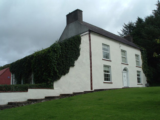 Mount Keeffehouse · 1.9 mi
 Stanner's Glen, Priory WoodWood · 2.4 mi
 CastleCastle, unclassified · 3.4 mi
 Mullaghareirk - Banane LoopWalking route · 4.9 mi
 KnockacummerMountain / peak · 5.1 mi
 TaurMountain / peak · 6.6 mi
 Kanturk CastleHeritage attraction · 7.1 mi
 Burial ground in AssolasBurial ground · 8.0 mi