What is recorded here
On rough mountain land, on spur of hill, overlooking Owengarve River valley to S. Probable row of three stones, aligned approximately E-W, 6.3m in overall length. E stone is 0.7m L, 0.6m T and 1.8m H. Next stone, 1.2m to SW, leans markedly to N and may be partly displaced; it measures 0.6m L, 0.2m T and, if erect, c. 1.5m H. W stone, 3.7m from last, is 0.8m L, 0.6m T and 0.8m H. (O Nualláin 1988, 232, no. 15)
The above description is derived from the published 'Archaeological Inventory of County Cork. Volume 3: Mid Cork' (Dublin: Stationery Office, 1997). In certain instances the entries have been revised and updated in the light of recent research.
Date of upload/revision: 14 January 2009
Likely dating to the Bronze Age, the alignment may have had ceremonial or astronomical significance. Such stone rows are often associated with ritual activity or marking territorial boundaries in prehistoric landscapes.
The monument record does not grant public access. Check the route and ask the landowner before entering private land.
- What survives
- Recorded monument
Places near here
 Architectural fragment in An Sliabh RiabhachArchitectural fragment · 1250 yd
 IndicatedDesigned landscape, belvedere · 1581 yd
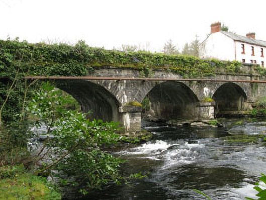 bridgebridge · 1598 yd
 Cascade WoodWood · 1744 yd
 Castle (Site of)Castle, unclassified · 1.1 mi
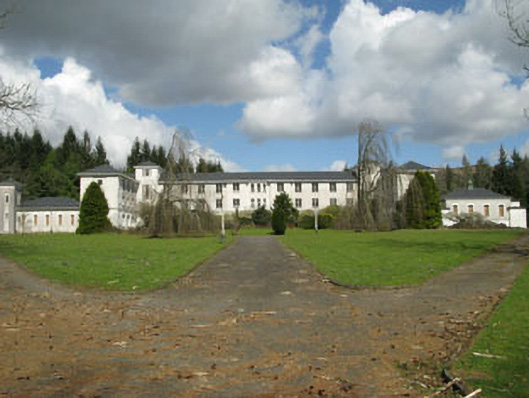 Coláiste Íosagáinschool · 1.1 mi
 Kealaboane WoodWood · 1.8 mi
 CastleCastle, unclassified · 2.1 mi
 KnockacommeenMountain / peak · 2.2 mi
 European long distance path E8 - part IrelandWalking route · 2.8 mi
 Cnoc na nUlánMountain / peak · 2.9 mi
 Sli Gaeltacht MuscraiWalking route · 3.5 mi