
Places near here
Photo credits
- National Inventory of Architectural Heritage
- Kmcnamee, Wikimedia Commons · CC BY-SA 4.0
 CodrumCountry house · 718 yd
Explorer Tom Codrum in Codrum has been standing since around 1800. It’s a big T-plan house with a walled garden and gate lodge that…
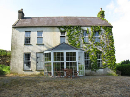 Mount CrossHouse · 1318 yd
Explorer Tom Mount Cross in Ardnacrushy is a bit of a history lesson with its layers. Built by a corn mill owner and then extended…
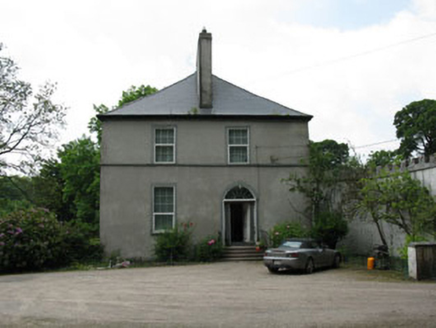 Clondrohid LodgeRectory/glebe/vicarage/curate's house · 1361 yd
Explorer Tom Clondrohid Lodge in Glebe was built by a Rector named Robert Kirchoffer in 1812. It has tall chimneystacks that anchor…
 bridge1489 yd
Explorer Tom Bridge in Codrum spans two water courses and an area prone to flooding, so it’s seen some bad poetry written about it…
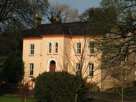 Gurteenroe HouseHouse · 1.0 mi
Explorer Tom Gurteenroe House in Cork has a double-pile form that basically shouts wealth at anyone who dares look too long. Its…
 Raleigh HouseFolly · 1.0 mi
Explorer Tom Raleigh House is a cheeky little folly tower on a rocky outcrop, built around 1840 just to catch your eye. It’s got…
 Tom Creedon Park, MacroomGAA ground · 1.2 mi
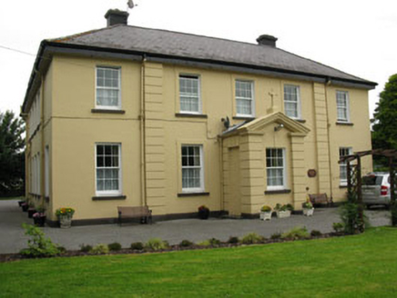 Saint Colman's HousePresbytery/parochial/curate's house · 1.3 mi
Explorer Tom Saint Colman's House in Gurteenroe is feuding with the next village over who has the better porch. It’s been polishing…
 Sunnyside HouseHouse · 1.3 mi
Explorer Tom Sunnyside House in Gurteenroe ended up in the wrong place because it got turned around looking for the sun.…
 Macroom CourthouseCourt house · 1.3 mi
Explorer Tom Macroom Courthouse is a classical building from 1830 that looks exactly like every other courthouse in Munster because…
 Aras MhuireHouse · 1.3 mi
Explorer Tom Aras Mhuire in Gurteenroe pretends to be old but might just have had a fresh coat of paint. It’s got timber sash…
Clondrohid GAA pitchGAA ground · 1.6 miMore archaeology and monuments in County Cork · All of County Cork

What do you know about this place?Tap to add a comment or ask a question