What is recorded here
On a very steep slope dropping N to the river Douglas. A small stream runs downslope just W of the fulacht fia. One of three fulachta fia (KK010-079001- c. 60m to the NNE; KK010-079003- c. 130m to the SSW) identified by Prendergast (1955, 10) in this field. The field has been reclaimed and the monument is not visible at ground level.
Compiled by: Jean Farrelly
Date of upload: 8 January 2019
The monument record does not grant public access. Check the route and ask the landowner before entering private land.
- What survives
- Recorded monument
Places near here
 IndicatedEnclosure · 613 yd
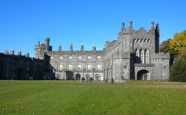 Enclosure in MuckaleeEnclosure · 793 yd
 Galvin'sForest · 1144 yd
 Edward BurkeMemorial · 1655 yd
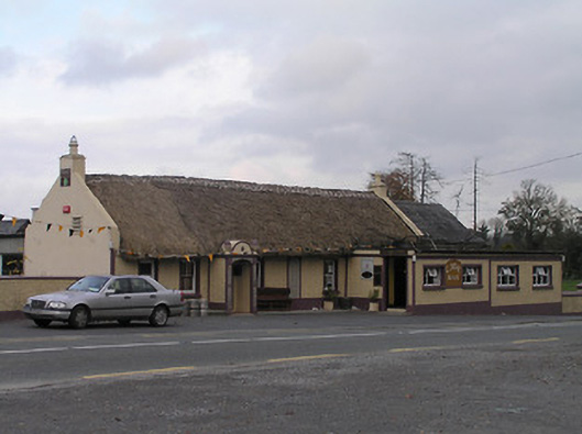 The Cavehouse · 1673 yd
 CastleCastle, tower house · 1698 yd
 Cave of DunmoreCave · 1.3 mi
 Dunmore CavesCave · 1.3 mi
 Somerton Househouse · 1.3 mi
 Mohil GraveyardArchaeological place · 1.5 mi
 Ballyfoyle Castle (in ruins)Castle, tower house · 1.6 mi
 SycamoreSycamore · 2.3 mi