
What is recorded here
On land rising slightly to the crest of a ridge to the NW, otherwise dropping steeply to the NE into the Douglas river valley and gently to the S and W, in rough rolling grassland. A roughly square area (int. dims. 33m E-W; 28m N-S) enclosed by slight earthen bank (Wth at crest 1.2m; overall With 2.5-3m; int. H 1.2m; ext. H 1.4m), which is rounded and expanded at the corners and a narrow external fosse (Wth 2m; D c. 0.2m). There are several cattle gaps though the bank. One gap (Wth 2m) at the S end of the E side may be original. A farm trackway runs across the northern portion of the enclosure.
Compiled by: Jean Farrelly
Date of upload: 8 January 2019
The monument record does not grant public access. Check the route and ask the landowner before entering private land.
- What survives
- Recorded monument
Places near here
 Galvin'sForest · 705 yd
 Site of Kilmadum ChurchChurch · 763 yd
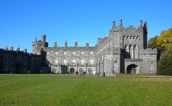 Enclosure in MuckaleeEnclosure · 1299 yd
 CastleCastle, tower house · 1421 yd
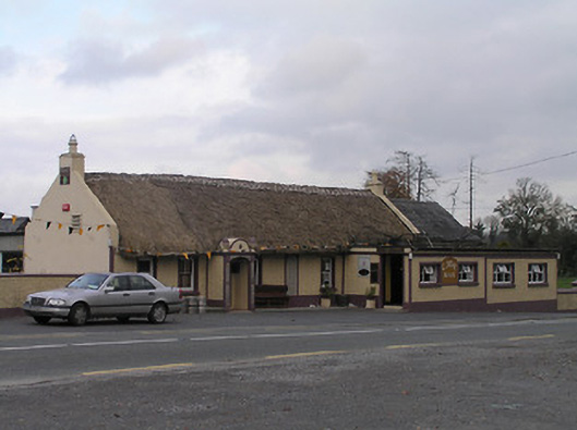 The Cavehouse · 1701 yd
 Cave of DunmoreCave · 1.1 mi
 Dunmore CavesCave · 1.1 mi
 Edward BurkeMemorial · 1.2 mi
 Ballyfoyle Castle (in ruins)Castle, tower house · 1.2 mi
 Mohil GraveyardArchaeological place · 1.3 mi
 Saint Joseph's Catholic Churchchurch/chapel · 1.3 mi
 The CummerForest · 2.1 mi
Other information
Photo: Credit not shown in the picture search · Rights wording not checked; contact us if this picture should be removed