What is recorded here
On the floor of the Douglas river valley, adjacent to small stream which appears to have run around the N-NW quadrant of the monument. It is depicted on the 1st (1839) ed. OS 6-inch map as a roughly circular area (dims. c. 38m N-S; 34m E-W) enclosed by a more irregular outer bank or platform (max. dims. c. 58m N-S; c. 57m E-W), the W-NW portion of which is not indicated and may have been defined by a stream. It is not indicated on the 1947 OS 6-inch map revision which suggests it was levelled between 1839 and 1947. It is not visible at ground level.
Compiled by: Jean Farrelly
Date of upload: 8 January 2019
The monument record does not grant public access. Check the route and ask the landowner before entering private land.
- What survives
- Recorded monument
Places near here
 Enclosure in Gaulstown (fassadinin By.)Enclosure · 662 yd
 Galvin'sForest · 1.1 mi
 Edward BurkeMemorial · 1.1 mi
 Site of Kilmadum ChurchChurch · 1.2 mi
 Rockbrook Corn Millmill (water) · 1.2 mi
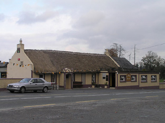 The Cavehouse · 1.3 mi
 CastleCastle, tower house · 1.4 mi
 Cave of DunmoreCave · 1.7 mi
 Dunmore CavesCave · 1.7 mi
 Clogharinka Castle (in ruins)Castle, unclassified · 1.8 mi
 Mohil GraveyardArchaeological place · 2.0 mi
 SycamoreSycamore · 2.1 mi
Other information
Photo: Credit not shown in the picture search · Rights wording not checked; contact us if this picture should be removed