What is recorded here
Half a metre of charred earth and one fallen slab mark the fulacht fia in Lounaghan, tucked into rough pasture beside a tributary of the Glashievhee stream. The shape is small enough to be overlooked, yet the burnt mound records repeated heat: water drawn up, stones fired, steam forced through soil that has since become pasture and fern. A second possible fulacht fia faces across the water, while a standing stone watches from thirty-seven metres south. Together they suggest a working edge of the old landscape, where people used the stream, fire and stone before the bog closed over the fields.
In rough pasture, on the N bank of a tributary of the Glashievhee stream and within a network of pre-bog field boundaries (KE094-060001-). A grass and fern-covered oval mound (2.9m E-W; 1.9m N-S; H 0.3m) of burnt material. A rectangular stone slab lies prostrate to the W of the mound. Another possible fulacht fia (KE094-060003-) is on the S bank of the stream and a standing stone (KE094-060002-) is 37m to the S.
The above description is derived from the published 'Archaeological Inventory of County Kerry. Volume I: South-West Kerry' (Dublin: Stationery Office, 2009). In certain instances the entries have been revised and updated in the light of recent research.
Date of upload: 30 May 2011
The monument record does not grant public access. Check the route and ask the landowner before entering private land.
- What survives
- Recorded monument
Places near here
 Sheep FoldEnclosure · 228 yd
 SheepfoldEnclosure · 312 yd
 KnockbrackMountain / peak · 1382 yd
 OutlinedKiln, lime · 1.0 mi
 Battle of Callannbattle · 1.2 mi
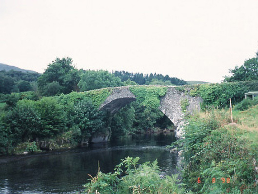 Ardtully Old Bridgebridge · 1.2 mi
 Castle (Site of)Castle, unclassified · 1.3 mi
 European YewEuropean Yew · 1.3 mi
 Kilgarvan Motor MuseumMuseum · 1.3 mi
 Knockbrack South TopMountain / peak · 1.6 mi
 Great Southern & Western RailwayMemorial · 1.7 mi
 Shanagarry Castle (Site of)Castle, unclassified · 3.1 mi