What is recorded here
Half a kilometre from the last road, a D-shaped scar of shattered stone and black soil still holds the heat of hands that dropped hot rocks into water. The mound faces north, eight metres across, its west side opened like a broken chest to show charcoal and flame-marked rock. A second basin sits opposite on the stream bank, and a lone standing stone watches from thirty-five metres south. People may have cooked, cleaned tools or marked a boundary there before the bog swallowed the fields. The water still moves through the stones, carrying no name but refusing to forget the heat.
In rough pasture, on the S bank of a tributary of the Glashievhee stream and within a network of pre-bog field boundaries (KE094-060001-). A D-shaped mound (straight N side: 8m E-W; 6m N-S; H 0.8m) of burnt material with heat-shattered stones and charcoal-enriched soil exposed at its W side. Another possible fulacht fia (KE094-060004-) is on the N bank of the stream and a standing stone (KE094-060002-) is 35m to the S.
The above description is derived from the published 'Archaeological Inventory of County Kerry. Volume I: South-West Kerry' (Dublin: Stationery Office, 2009). In certain instances the entries have been revised and updated in the light of recent research.
Date of upload: 30 May 2011
The monument record does not grant public access. Check the route and ask the landowner before entering private land.
- What survives
- Recorded monument
Places near here
 Sheep FoldEnclosure · 242 yd
 SheepfoldEnclosure · 300 yd
 KnockbrackMountain / peak · 1365 yd
 OutlinedKiln, lime · 1.0 mi
 Battle of Callannbattle · 1.2 mi
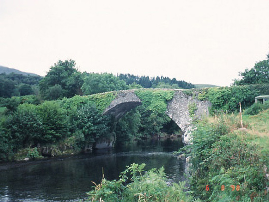 Ardtully Old Bridgebridge · 1.2 mi
 Castle (Site of)Castle, unclassified · 1.3 mi
 European YewEuropean Yew · 1.3 mi
 Kilgarvan Motor MuseumMuseum · 1.3 mi
 Knockbrack South TopMountain / peak · 1.6 mi
 Great Southern & Western RailwayMemorial · 1.7 mi
 Shanagarry Castle (Site of)Castle, unclassified · 3.1 mi