What is recorded here
This fulacht fia was discovered in 2002 during pipelaying on the Ballyhaunis Water Supply Augmentation Scheme. The portion of the fulacht fia (6m NE-SW; 7.6m SE-NW; max. D 0.29m) which lay within the pipeline wayleave was excavated (02E1777) (Guinan 2014, 1-14). The fulacht fia had been disturbed in the past by cultivation and drainage trenches. It consisted of a low, irregular-shaped mound of heat-shattered sandstone fragments in a matrix of charcoal-rich soil. An subrectangular, earth-cut trough (2.01m NNW-SSE; 1.19m ENE-WSW; D 0.4m) was located at the SW edge of the mound. A piece of struck chert was recovered. Radiocarbon analysis of two charcoal samples produced dates of 3320+/- 20 BP (1681-1657 cal BC) and 3335+/-45 BP (1736-1709 cal BC) which indicate use of the fulacht fia in the Middle Bronze Age (1700-1200 BC) (Ibid., 8-9). The W portion of the mound, which lay outside the pipeline wayleave, remains in situ. (Guinan 2014, 1-14).
Compiled by: Jane O'Shaughnessy
Date of upload: 18 April 2016
The monument record does not grant public access. Check the route and ask the landowner before entering private land.
- What survives
- Recorded monument
Places near here
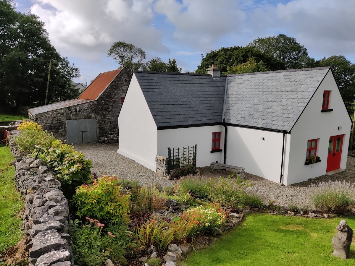 Enclosure in DevlisEnclosure · 252 yd
 Ballyhaunis Railway Stationbuilding misc · 361 yd
 bridgebridge · 448 yd
 Enclosure in KilmanninEnclosure · 1502 yd
 CastleCastle, unclassified · 4.9 mi
 Rath Castle in ruinsCastle, tower house · 6.2 mi
 East Mayo Brigade MonumentMemorial · 8.1 mi
 Oak WoodForest · 10 mi
 Geoffrey's WoodForest · 11 mi
 Kiltimagh MuseumMuseum · 11 mi
 I'll Send You The FareMemorial · 12 mi
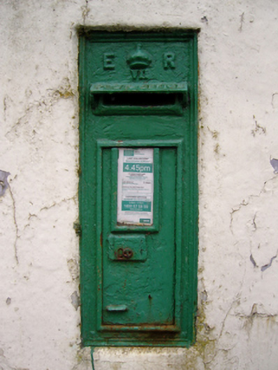 post boxpost box · 592 yd