
What is recorded here
Jackson(1979-80, 147) states that this site was regarded locally as a holy well. It is named 'Furan Well' on the 1st ed. (1838) of the OS 6-inch map (the name being derived from 'fuar'- cold: see also Fuaran holy well in Boghall Td (KD031-001----)) and shown at the W corner of a moated site (KD004-012----). No longer visible at ground level, but the ground in this area is wet underfoot. A small fenced-off area at the S corner of the moated site may be the location of a covered well or spring.
Compiled by: Gearóid Conroy
Date of upload: 10 June 2011
The monument record does not grant public access. Check the route and ask the landowner before entering private land.
- What survives
- Recorded monument
Places near here
 Enclosure in DysartEnclosure · 751 yd
 Site of Dunfierth CastleCastle, unclassified · 756 yd
 Dunfierth ChurchChurch · 788 yd
 Coolree FortFairy fort / earthen ringfort · 1.1 mi
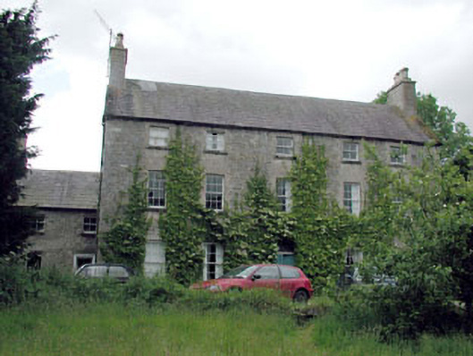 Metcalfe Parkcountry house · 1.2 mi
 MoatCastle, motte · 2.1 mi
 The Grill ShackHeritage attraction · 2.5 mi
 Cloncurry GraveyardHeritage attraction · 2.6 mi
 Old Bog Road made famous by Teresa Bryton 1868-1943Memorial · 3.7 mi
 9/11 MemorialMemorial · 4.2 mi
 European ashEuropean ash · 4.5 mi
 Loughtown CovertWood · 5.8 mi
Other information
Photo: Credit not shown in the picture search · Rights wording not checked; contact us if this picture should be removed