What is recorded here
On the gentle W-facing slope of a low, narrow, N-S pasture ridge. A castle (KD004-006----) stood c. 60m to the E. A rectangular embanked area (dims L c. 50m E-W; Wth c. 40m; ext. H 1.5m) with an ivy-clad, dry-stone retaining wall at the base of the embankment along the S contains a medieval church (KD004-005001-) to W of centre. Legible burial markers dating to the 18th century and 19th century are concentrated to the S of the church, with more recent burials to the E. Numerous architectural fragments occur, some of which may have come from the castle.
Compiled by: Gearóid Conroy
Date of upload: 10 June 2011
The monument record does not grant public access. Check the route and ask the landowner before entering private land.
- What survives
- Recorded monument
Places near here
 Dunfierth ChurchChurch · 6 yd
 Site of Dunfierth CastleCastle, unclassified · 82 yd
 Fuaran WellHoly well · 789 yd
 Enclosure in DysartEnclosure · 1247 yd
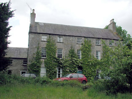 Metcalfe Parkcountry house · 1399 yd
 Bawn in Newcastle (moyfenrath Lower By.)Bawn · 2.4 mi
 European ashEuropean ash · 2.5 mi
 Cloncurry GraveyardHeritage attraction · 2.5 mi
 The Grill ShackHeritage attraction · 3.0 mi
 Old Bog Road made famous by Teresa Bryton 1868-1943Memorial · 3.6 mi
 9/11 MemorialMemorial · 4.7 mi
 Horse-chestnutHorse-chestnut · 6.1 mi