What is recorded here
Fairy forts are human ringforts misnamed by folklore, often holding kitchens, hearths and everyday tools rather than magic. In Coolree, a shallow circular ditch and a worn earthen bank still mark a small dwelling place beside pasture. A second rath sits fifty metres west, suggesting a neighbourhood rather than a lonely mistake. The name sounds like fantasy, but the shape is human: a household, a boundary and a life lived quietly beside the field.
In level pastureland with a second rath (KD004-008----) visible c. 50m to the W. A poorly preserved sub-circular area (int. diams. 27.3m E-W; 24.2m N-S) is defined by a low, earthen bank (Wth 0.75m; int. H 0.15m; ext. H 0.3m) S-W, and elsewhere by a low scarp (H 0.2m), and by a shallow, outer fosse (Wth 2.1-2.7m; D 0.1-0.4m). A faint gap (Wth 3.5m) at S may be the original entrance. Although not recorded on the 1st ed. (1838) of the OS 6-inch map it is probably a rath. Visible as being overgrown on a recent aerial photograph (OSi Orthophoto 2005).
Compiled by: Gearóid Conroy
Date of upload: 10 June 2011
The monument record does not grant public access. Check the route and ask the landowner before entering private land.
- What survives
- Recorded monument
Places near here
 Coolree FortFairy fort / earthen ringfort · 100 yd
 TobernagriddleHoly well · 933 yd
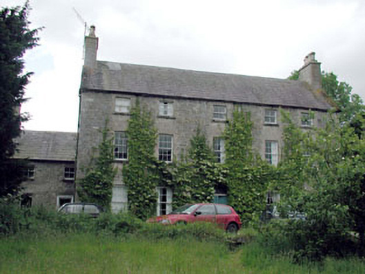 Metcalfe Parkcountry house · 1220 yd
 Fear English Bridgebridge · 1317 yd
 Site of Dunfierth CastleCastle, unclassified · 1478 yd
 Bawn in Newcastle (moyfenrath Lower By.)Bawn · 2.2 mi
 Cloncurry GraveyardHeritage attraction · 3.1 mi
 The Grill ShackHeritage attraction · 3.4 mi
 Old Bog Road made famous by Teresa Bryton 1868-1943Memorial · 4.3 mi
 European ashEuropean ash · 5.2 mi
 9/11 MemorialMemorial · 5.2 mi
 Horse-chestnutHorse-chestnut · 5.6 mi