What is recorded here
Situated towards the top of the NE-facing slope of a drumlin. This is an overgrown circular area (diam. 27m E-W; 25m N-S) with rock outcrop that slopes down slightly to the S (H 0.6m), which is defined by an overgrown earthen bank (Wth of base 4.6-6m; int. H 0.4m at N to 1.2m at S; ext. H 0.8m at S to 1.6m at N) with internal and external stone facing. There is an entrance gap (Wth of base 1.4m) at NW which is probably original. The ringfort (MO031-041----) is c. 200m to the NW, and raths (MO031-044----) and (MO031-045----) are c. 200m to the S and c. 180m to the ESE respectively.
Situated towards the top of the NE-facing slope of a drumlin. This is an overgrown circular area (diam. 27m E-W; 25m N-S) with rock outcrop that slopes down slightly to the S (H 0.6m), which is defined by an overgrown earthen bank (Wth of base 4.6-6m; int. H 0.4m at N to 1.2m at S; ext. H 0.8m at S to 1.6m at N) with internal and external stone facing. There is an entrance gap (Wth of base 1.4m) at NW which is…
From the National Monuments Service (Archaeological Survey of Ireland) record MO031-043
The monument record does not grant public access. Check the route and ask the landowner before entering private land.
- What survives
- Recorded monument
Places near here
Photo credits
- National Inventory of Architectural Heritage
- Stephan van Helden, Wikimedia Commons · CC BY-SA 4.0
- Malene Thyssen, Wikimedia Commons · CC BY-SA 3.0
- Kieran Campbell, Geograph · CC BY-SA 2.0
- Cathar11, Wikimedia Commons · CC0
- Kieran Campbell, Geograph · Creative Commons Attribution-ShareAlike 2.0
- Eric Jones, Geograph · CC BY-SA 2.0
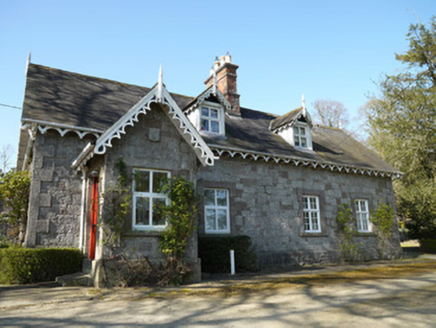 Corcrin HouseHouse · 496 yd
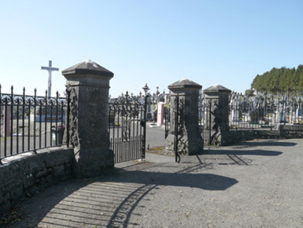 Saint Joseph's CemeteryGates/railings/walls · 1059 yd
 Horse-chestnut1.8 mi
 European Beech2.0 mi
 Mannan Castle (in ruins)Castle, Anglo-Norman masonry castle · 2.5 mi
 Round Tower4.9 mi
 IndicatedGraveyard · 8.8 mi
 Roche CastleCastle, Anglo-Norman masonry castle · 9.5 mi
 Ballsmill Amenity LandPicnic place · 9.9 mi
 Irish Hunger StrikersMemorial · 11 mi
 Graveyard in StickillinGraveyard · 11 mi
 Mass Rock Loop TrailWalking route · 12 mi
More archaeology and monuments in County Monaghan · All of County Monaghan
What do you know about this place?