What is recorded here
There is no sign of the single-ringed 'Fort' shown on the 1st and 2nd editions of the OS 6-inch maps. It was situated on good but exposed land. The above description was derived from the 'Archaeological Survey of County Donegal. A description of the field antiquities of the County from the Mesolithic Period to the 17th century.' Compiled by: Brian Lacey with Eamon Cody, Claire Cotter, Judy Cuppage, Noel Dunne, Vincent Hurley, Celie O'Rahilly, Paul Walsh and Seán Ó Nualláin (Lifford: Donegal County Council, 1983).
From the National Monuments Service (Archaeological Survey of Ireland) record DG106-002
The monument record does not grant public access. Check the route and ask the landowner before entering private land.
- What survives
- Recorded monument
Places near here
Photo credits
- Kay Atherton, Geograph · Creative Commons Attribution-ShareAlike 2.0
- louise price, Wikimedia Commons · CC BY-SA 2.0
- National Inventory of Architectural Heritage
- Jonathan Wilkins, Geograph · CC BY-SA 2.0
- Jonathan Wilkins, Wikimedia Commons · CC BY-SA 2.0
- Dean Molyneaux, Geograph · CC BY-SA 2.0
- Kenneth Allen, Wikimedia Commons · CC BY-SA 2.0
 Bunatrahan PierPier/jetty · 623 yd
 Dark Cliffs at KilbarronPublicly named cliff or headland · 1304 yd
 Kilbarron Castle in ruinsCastle, tower house · 1309 yd
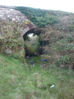 bridge1.2 mi
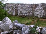 Kilbarron Old Church GraveyardGraveyard · 1.3 mi
 Wardtown StrandBeach / strand · 1.6 mi
 Tullan StrandBeach / strand · 1.8 mi
 Cliffs by BundoranPublicly named cliff or headland · 2.4 mi
 Sheebarran RingfortFairy fort / earthen ringfort · 2.6 mi
 RossnowlaghOfficial bathing water · 2.6 mi
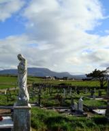 Finner Old GraveyardGraveyard · 2.7 mi
 Dungravenen Promontory FortPromontory fort, coastal · 2.9 mi
More archaeology and monuments in County Donegal · All of County Donegal
What do you know about this place?