
What is recorded here
Pier/jetty, built 1880 - 85, having storm wall to the west elevation and with stone flagged slipway adjacent to the east. Still in use. Walls constructed of snecked mildly rock-faced masonry with concrete deck and with concrete coping over storm wall. Flight of cut stone steps to the north end of the east elevation giving access to water level. Cut stone coping to east edge of deck; metal rope rings and metal chains to east edge of pier. Concrete paved road to pier from the east having coursed and squared rubble stone retaining walls to seafront; metal winch located along approach road. Stone slipway to the east end of retaining wall having stone cobbles to deck and with coursed rubble stone retaining walls. Pier juts out into Donegal Bay to the north of Bundoran and to the north-west of Ballyshannon.
This impressive and large-scale pier/jetty at Bunatrahan is an integral element of the extensive maritime heritage of south Donegal. It is robustly-constructed using mildly rock-faced squared local sandstone masonry, and its continued survival and use is indicative of the quality of its original construction. The use of rock-faced masonry is a characteristic feature of many Victorian-era engineering projects, and can be seen at many railway bridges and bridges around Donegal. The flight of stone steps and the cut stone coping to the east elevation add interest, while the survival of the metal winch to the south-east adds additional technical interest. The good-quality cobbled slipway to the south-east adds significantly to the setting and context. This is one of the better piers of its type still surviving in Donegal and it dates to the late nineteenth century, a period that witnessed a huge investment in the construction of piers/jetties in Donegal, mainly by the Board of Works and later the Congested Districts Board, as well as by private subscription. The Reports of the Inspectors of Irish Fisheries on the Sea and Inland Fisheries of Ireland from 1880 to 1885 indicate that this pier was built between these dates at an estimated cost of £2,000. The adjacent harbour was deepened in 1881 at an additional cost of £980.
From the Buildings of Ireland (National Inventory of Architectural Heritage) record 40910622
This does not grant access. Most recorded buildings are privately owned; view them only from public ground unless the owner allows entry.
Places near here
 Dark Cliffs at KilbarronPublicly named cliff or headland · 685 yd
 Kilbarron Castle in ruinsCastle, tower house · 687 yd
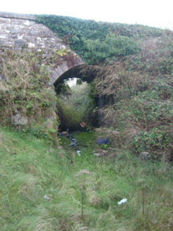 bridge1586 yd
 Kilbarron Old Church GraveyardGraveyard · 1743 yd
 bridge1.1 mi
 Wardtown StrandBeach / strand · 1.7 mi
 Tullan StrandBeach / strand · 2.0 mi
 RossnowlaghOfficial bathing water · 2.3 mi
 Sheebarran RingfortFairy fort / earthen ringfort · 2.3 mi
 Cliffs by BundoranPublicly named cliff or headland · 2.7 mi
 Dungravenen Promontory FortPromontory fort, coastal · 2.8 mi
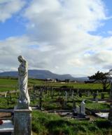 Finner Old GraveyardGraveyard · 2.9 mi
Pictures: louise price, Wikimedia Commons · CC BY-SA 2.0; National Inventory of Architectural Heritage; Jonathan Wilkins, Geograph · CC BY-SA 2.0; Dean Molyneaux, Geograph · CC BY-SA 2.0; Jonathan Wilkins, Wikimedia Commons · CC BY-SA 2.0; Kenneth Allen, Wikimedia Commons · CC BY-SA 2.0
More historic places in County Donegal · All of County Donegal
What do you know about this place?